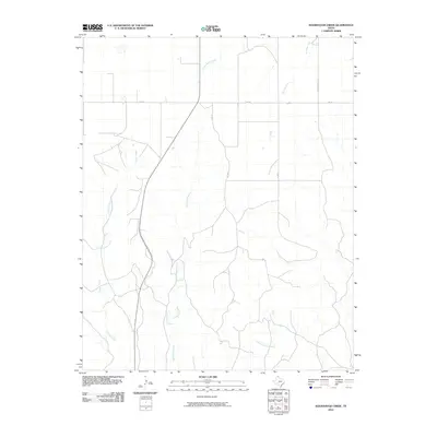
2010 Map of Sourdough Creek
USGS Topo · Published 2010About this map
Sourdough Creek and its many seasonal tributaries define the landscape of this Ochiltree County terrain, where the High Plains of the Texas Panhandle are carved by a complex drainage network. The map reveals a rural economy centered on ranching and transport, with Leslie Ranch Rd and several county roads providing access to the interior sections. Along the northern edge, FM 281 serves as the primary east-west corridor, connecting the remote ranch lands. Significant waterways including South Wolf Creek, Dugout Creek, and Northup Creek underscore the importance of natural water sources in this semi-arid environment. In the southern reaches, Picketts Ranch Creek flows through the undulating topography, illustrating the erosional patterns typical of the region's breaks and draws.
Find a feature on this map
9 named features on this map. Tap any name to fly to it.
Don’t see what you’re looking for? This feature index may not catch every label — zoom into the map to look around manually.
Map Details
Editions of this 2010 Sourdough Creek Map
This is the sole edition of this map. No revisions or reprints were ever made.
Other maps of this area

1954 · Perryton
USGS Topo · 1:250,000

1954 · Amarillo
USGS Topo · 1:250,000

1958 · Perryton
USGS Topo · 1:250,000

1958 · Amarillo
USGS Topo · 1:250,000

1971 · Dry Creek NE
USGS Topo · 1:24,000

1971 · Dry Creek North
USGS Topo · 1:24,000

1972 · Horse Creek North
USGS Topo · 1:24,000

1973 · Sourdough Creek NE
USGS Topo · 1:24,000

1973 · Pickett Ranch Creek
USGS Topo · 1:24,000

1973 · Lake Fryer
USGS Topo · 1:24,000