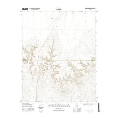
2016 Map of Sourdough Creek
USGS Topo · Published 2016About this map
Sourdough Cr carves a complex network of drainages across the boundary of Ochiltree and Roberts Counties in the Texas Panhandle. This landscape is defined by the sharp transition from the flat High Plains tableland into the eroded breaks of the Canadian River watershed. The drainage system includes several named tributaries such as Dugout Cr, Northup Cr, and Picketts Ranch Cr, which create a deeply dissected terrain in the southern half of the map. Human activity is largely shaped by the ranching economy, evidenced by the presence of Leslie Ranch Rd and a network of county roads like Co Rd 16 and Co Rd 17 that provide access to this isolated area. State Highway 70 serves as the primary north-south corridor, cutting across the western edge of the plains before descending into the rugged creek beds.
Find a feature on this map
12 named features on this map. Tap any name to fly to it.
Don’t see what you’re looking for? This feature index may not catch every label — zoom into the map to look around manually.
Map Details
Editions of this 2016 Sourdough Creek Map
This is the sole edition of this map. No revisions or reprints were ever made.
Other maps of this area

1954 · Perryton
USGS Topo · 1:250,000

1954 · Amarillo
USGS Topo · 1:250,000

1958 · Perryton
USGS Topo · 1:250,000

1958 · Amarillo
USGS Topo · 1:250,000

1971 · Dry Creek NE
USGS Topo · 1:24,000

1971 · Dry Creek North
USGS Topo · 1:24,000

1972 · Horse Creek North
USGS Topo · 1:24,000

1973 · Sourdough Creek NE
USGS Topo · 1:24,000

1973 · Pickett Ranch Creek
USGS Topo · 1:24,000

1973 · Lake Fryer
USGS Topo · 1:24,000