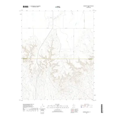
2019 Map of Sourdough Creek
USGS Topo · Published 2019About this map
Deeply incised drainages and canyon lands define the transition across the border of Ochiltree Co and Roberts Co in the Texas Panhandle. The terrain is dominated by the complex erosion patterns of the Sourdough Cr and Dugout Cr systems, which have carved a labyrinth of draws into the plains. This landscape is a patchwork of large-scale ranching operations, where mobility is facilitated by a network of local routes such as Ranch Rd 281 and the Leslie Ranch Rd. Evidence of the region’s water-dependent history is seen in the naming of ephemeral flows like Picketts Ranch Cr and S Wolf Cr, while the absence of dense settlements underscores the area's enduring character as open range and agricultural territory. The interplay of high plateaus and steep breaks reveals the stark physical geography typical of this section of the High Plains.
Find a feature on this map
11 named features on this map. Tap any name to fly to it.
Don’t see what you’re looking for? This feature index may not catch every label — zoom into the map to look around manually.
Map Details
Editions of this 2019 Sourdough Creek Map
This is the sole edition of this map. No revisions or reprints were ever made.
Other maps of this area

1954 · Perryton
USGS Topo · 1:250,000

1954 · Amarillo
USGS Topo · 1:250,000

1958 · Perryton
USGS Topo · 1:250,000

1958 · Amarillo
USGS Topo · 1:250,000

1971 · Dry Creek NE
USGS Topo · 1:24,000

1971 · Dry Creek North
USGS Topo · 1:24,000

1972 · Horse Creek North
USGS Topo · 1:24,000

1973 · Sourdough Creek NE
USGS Topo · 1:24,000

1973 · Pickett Ranch Creek
USGS Topo · 1:24,000

1973 · Lake Fryer
USGS Topo · 1:24,000