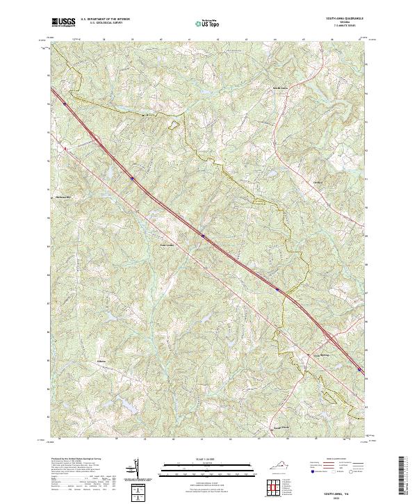
2022 Map of South Anna
USGS Topo · Published 2022About this map
The South Anna River flows across the northern reaches of this landscape, anchoring a rural Virginia region defined by small crossroads settlements and winding secondary roads. At the eastern edge, Gum Spring serves as a notable junction where several routes converge near the boundary between Louisa and Goochland counties. The terrain is characterized by numerous small drainages like Deep Creek and Big Lickinghole Creek, which feed into local water bodies such as Lake Killarney and Harris Pond. Long-standing colonial-era transit corridors, including the path of Three Chopt Road, continue to shape the movement between community centers like Hadensville and East Leake. This 2022 survey documents the persistent rural character of the Piedmont, where family-named landmarks like Pruitts Pond and Dixie Hollow persist alongside newer residential developments near Orchid.
Find a feature on this map
97 named features on this map. Tap any name to fly to it.
Don’t see what you’re looking for? This feature index may not catch every label — zoom into the map to look around manually.
Map Details
Editions of this 2022 South Anna Map
This is the sole edition of this map. No revisions or reprints were ever made.
Other maps of this area

1890 · Goochland
USGS Topo · 1:125,000

1891 · Palmyra
USGS Topo · 1:125,000

1892 · Goochland
USGS Topo · 1:125,000

1895 · Palmyra
USGS Topo · 1:125,000

1897 · Palmyra
USGS Topo · 1:125,000

1942 · Pendleton
USGS Topo · 1:24,000

1942 · Buckner
USGS Topo · 1:24,000

1943 · Goochland
USGS Topo · 1:31,680

1943 · Perkinsville
USGS Topo · 1:31,680

1943 · Pendleton
USGS Topo · 1:31,680