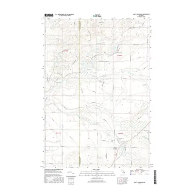
2017 Map of South Boardman
USGS Topo · Published 2017About this map
The South Boardman settlement sits at the confluence of several vital waterways in this northern Michigan landscape, where the S Br Boardman River and Shannon Cr meet. The township's industrial history is quietly reflected in the presence of Wellman Mill Pond and Youngs Mill Pond, legacy features that speak to the region's reliance on water power and lumbering. The terrain is marked by a complex network of glacial kettle lakes, including Guernsey Lake, Root Lake, and the clustered Sand Lakes, many of which are now connected by the N Country National Scenic Trail and the Shore to Shore Trail. This modern survey also preserves the location of the South Boardman Cem and tracks the boundary between Grand Traverse and Kalkaska counties, providing a detailed look at the rural road network and drainage patterns surrounding the N Br Boardman River.
Find a feature on this map
79 named features on this map. Tap any name to fly to it.
Don’t see what you’re looking for? This feature index may not catch every label — zoom into the map to look around manually.
Map Details
Editions of this 2017 South Boardman Map
This is the sole edition of this map. No revisions or reprints were ever made.
Other maps of this area

1954 · Traverse City
USGS Topo · 1:250,000

1956 · Mancelona
USGS Topo · 1:62,500

1956 · Kalkaska
USGS Topo · 1:62,500

1956 · Fife Lake
USGS Topo · 1:62,500

1957 · Elk Rapids
USGS Topo · 1:62,500

1958 · Traverse City
USGS Topo · 1:250,000

1983 · Traverse City
USGS Topo · 1:100,000
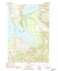
1983 · Torch River
USGS Topo · 1:24,000
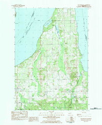
1983 · Williamsburg
USGS Topo · 1:25,000
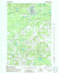
1985 · Kalkaska
USGS Topo · 1:24,000
Featured Places
- Whitewater Township, MI
- Union Township, MI
- Boardman Township, MI
- South Boardman, MI
- Kalkaska Township, MI