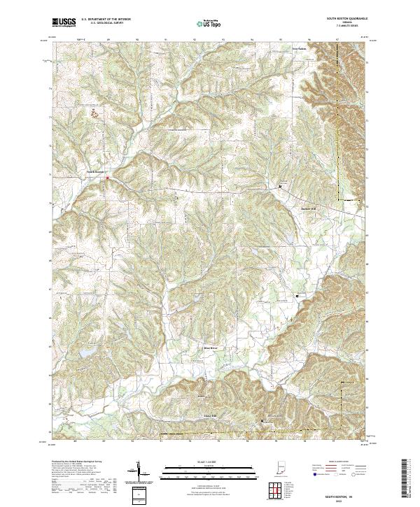
2022 Map of South Boston
USGS Topo · Published 2022About this map
South Boston serves as a central point in this part of Washington County, where the Middle Fork Blue River and South Fork Blue River define the local topography. This southern Indiana landscape is characterized by a network of rural settlements, including New Salem, Bunker Hill, and Daisy Hill, which are linked by winding country roads that follow the ridges and valleys. Prominent elevations like Williams Knob and Bowers Knob rise above the drainage basins of Whiskey Run and Sprigler Cr.
Find a feature on this map
89 named features on this map. Tap any name to fly to it.
Don’t see what you’re looking for? This feature index may not catch every label — zoom into the map to look around manually.
Map Details
Editions of this 2022 South Boston Map
This is the sole edition of this map. No revisions or reprints were ever made.
Historical Maps of Blue River Through Time
11 maps found

1950 Becks Mill
Washington County, IN
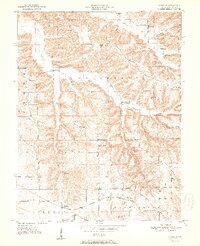
1951 Smedley
Washington County, IN
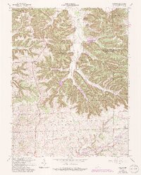
1953 Kossuth
Washington County, IN
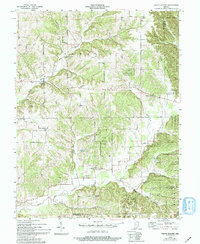
1955 South Boston
Washington County, IN
1963 Kossuth
Washington County, IN
1966 Becks Mill
Washington County, IN
1966 Smedley
Washington County, IN
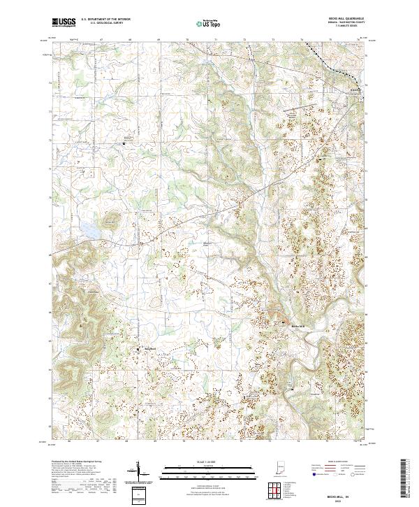
2022 Becks Mill
Washington County, IN
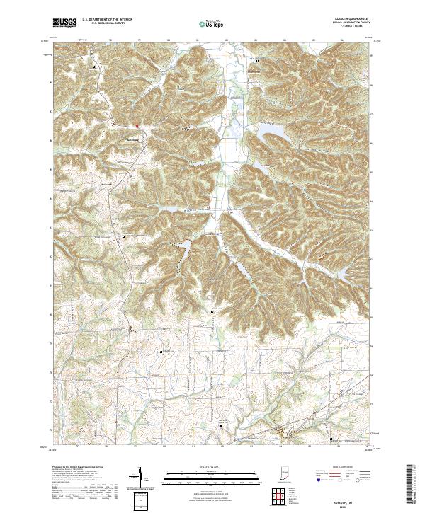
2022 Kossuth
Washington County, IN
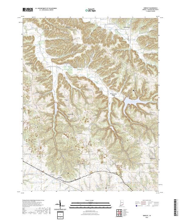
2022 Smedley
Washington County, IN
2022 South Boston
Washington County, IN