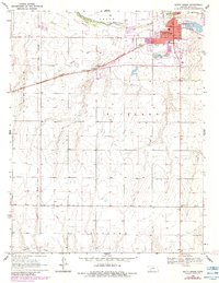
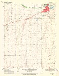
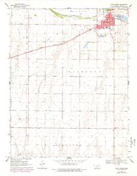
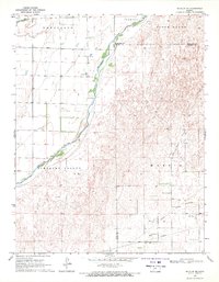
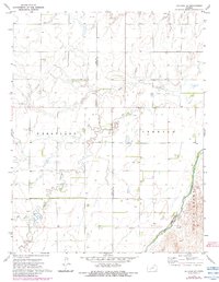
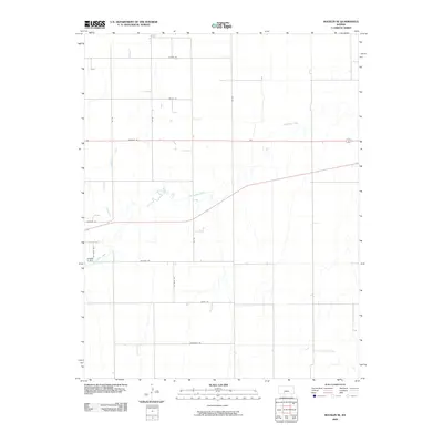
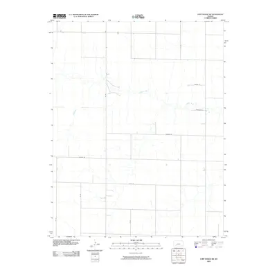
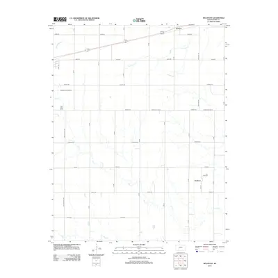
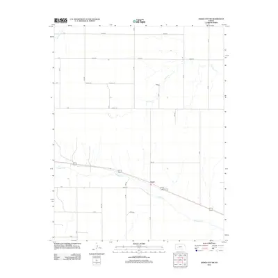
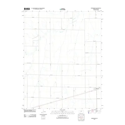
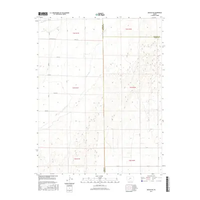
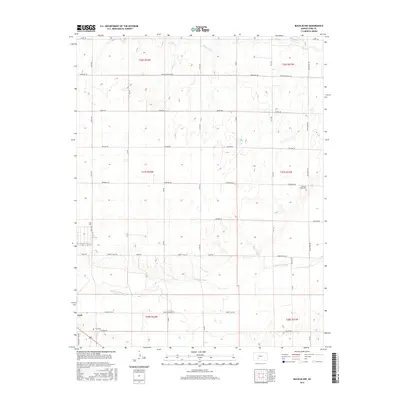
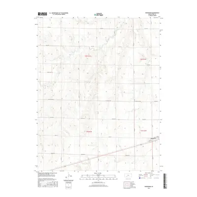
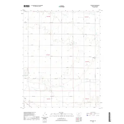
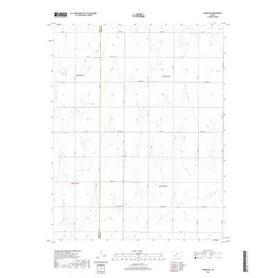
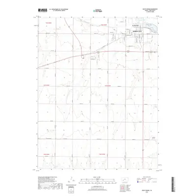
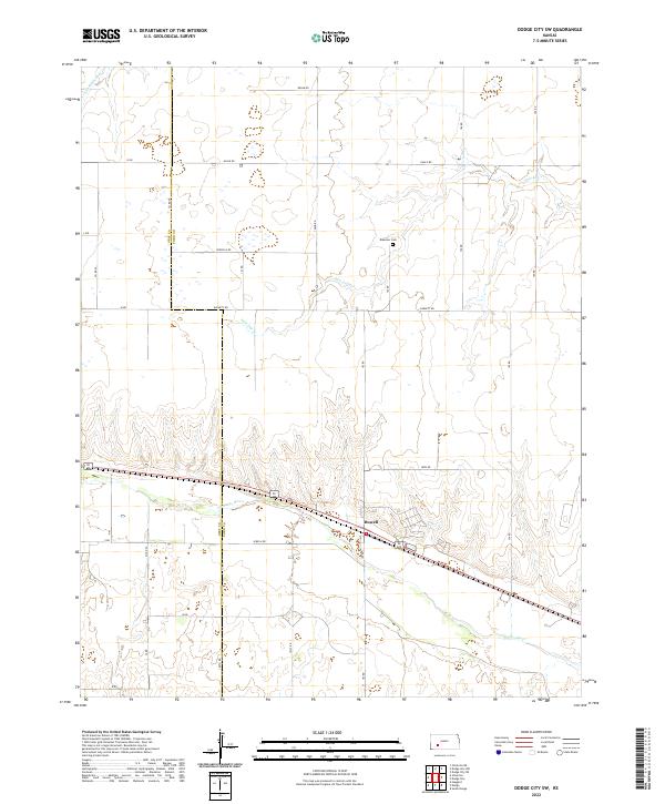
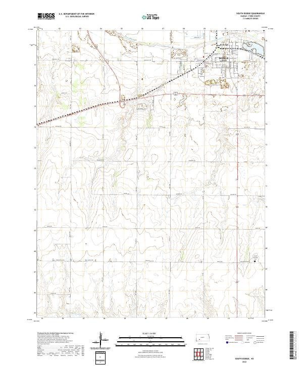
1969 Map of South Dodge
USGS Topo · Published 1984About this map
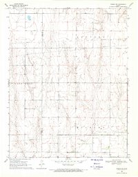
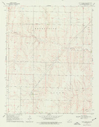
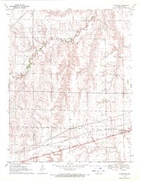
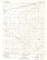
The Arkansas River serves as the primary northern boundary of this landscape, separating the urban development of Dodge City from its southern outskirts. Just south of the river, South Dodge is marked by a concentration of residential streets and early industrial activity, including several Gravel Pits and a Drive-in Theater. This 1969 survey captures a fascinating intersection of historic routes and modern growth, as the Old Santa Fe Trail and the Old Indian Treaty Boundary cut across the high plains of Richland and Concord townships.
Find a feature on this map
25 named features on this map. Tap any name to fly to it.
Don’t see what you’re looking for? This feature index may not catch every label — zoom into the map to look around manually.
Map Details
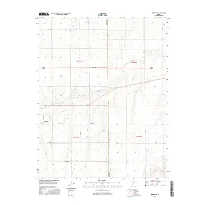
Editions of this 1969 South Dodge Map
3 editions found
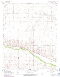
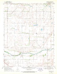
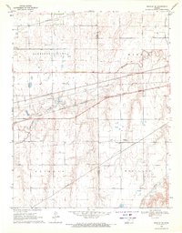
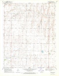
Historical Maps of Dodge City Through Time
66 maps found
1968 Dodge City SW
Ford County, KS
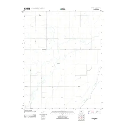
1969 Bucklin NE
Ford County, KS
1969 Bucklin NW
Ford County, KS
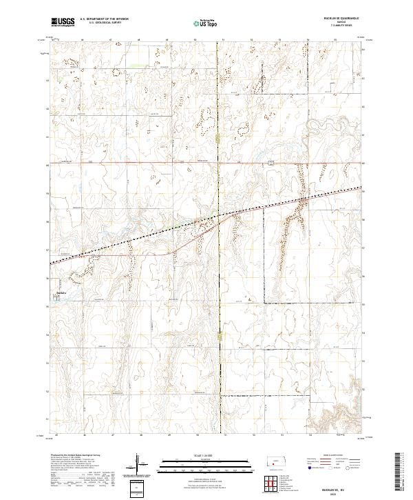
1969 Bucklin SE
Ford County, KS
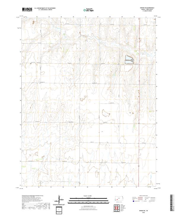
1969 Ensign SE
Ford County, KS
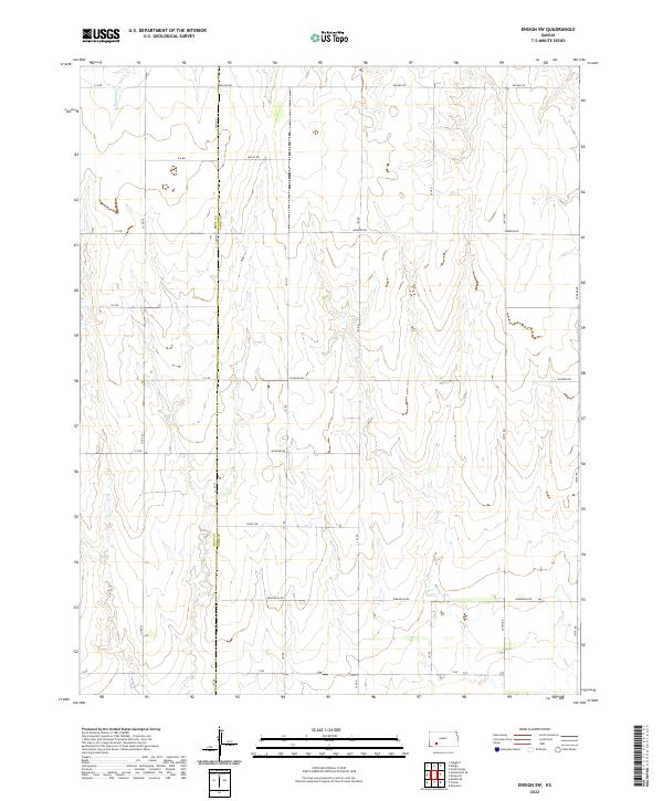
1969 Ensign SW
Ford County, KS
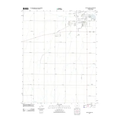
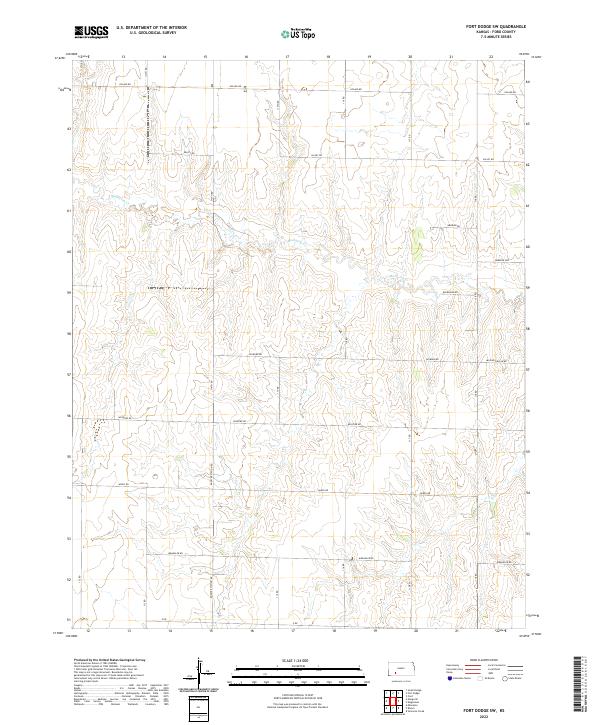
1969 Fort Dodge SW
Ford County, KS
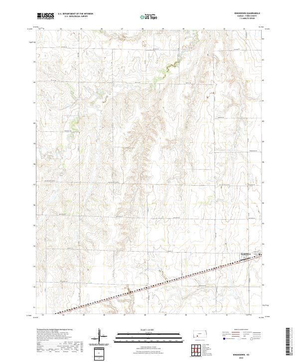
1969 Kingsdown
Ford County, KS
1969 South Dodge
Ford County, KS
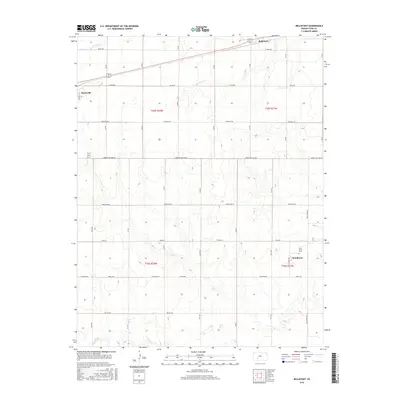
1972 Bellefont
Ford County, KS
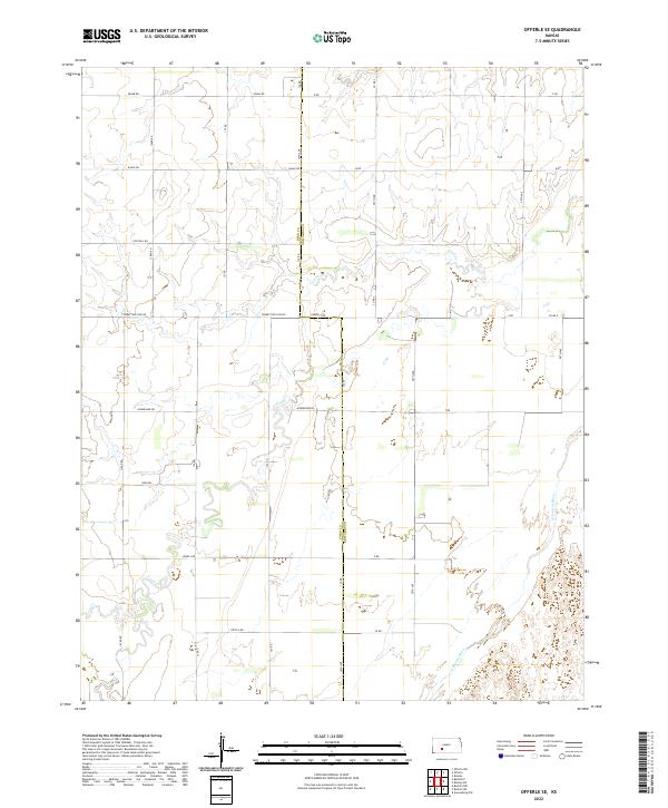
1972 Offerle SE
Ford County, KS
2009 Bellefont
Ford County, KS
2009 Bucklin NE
Ford County, KS
2009 Bucklin NW
Ford County, KS
2009 Bucklin SE
Ford County, KS
2009 Dodge City SW
Ford County, KS
2009 Ensign SE
Ford County, KS
2009 Ensign SW
Ford County, KS
2009 Fort Dodge SW
Ford County, KS
2009 Kingsdown
Ford County, KS
2009 Offerle SE
Ford County, KS
2009 South Dodge
Ford County, KS
2012 Bellefont
Ford County, KS
2012 Bucklin NE
Ford County, KS
2012 Bucklin NW
Ford County, KS
2012 Bucklin SE
Ford County, KS
2012 Dodge City SW
Ford County, KS
2012 Ensign SE
Ford County, KS
2012 Ensign SW
Ford County, KS
2012 Fort Dodge SW
Ford County, KS
2012 Kingsdown
Ford County, KS
2012 Offerle SE
Ford County, KS
2012 South Dodge
Ford County, KS
2015 Bellefont
Ford County, KS
2015 Bucklin NE
Ford County, KS
2015 Bucklin SE
Ford County, KS
2015 Fort Dodge SW
Ford County, KS
2015 Offerle SE
Ford County, KS
2016 Bucklin NW
Ford County, KS
2016 Dodge City SW
Ford County, KS
2016 Ensign SE
Ford County, KS
2016 Ensign SW
Ford County, KS
2016 Kingsdown
Ford County, KS
2016 South Dodge
Ford County, KS
2018 Bellefont
Ford County, KS
2018 Bucklin NE
Ford County, KS
2018 Bucklin NW
Ford County, KS
2018 Bucklin SE
Ford County, KS
2018 Dodge City SW
Ford County, KS
2018 Ensign SE
Ford County, KS
2018 Ensign SW
Ford County, KS
2018 Fort Dodge SW
Ford County, KS
2018 Kingsdown
Ford County, KS
2018 Offerle SE
Ford County, KS
2018 South Dodge
Ford County, KS
2022 Bellefont
Ford County, KS
2022 Bucklin NE
Ford County, KS
2022 Bucklin NW
Ford County, KS
2022 Bucklin SE
Ford County, KS
2022 Dodge City SW
Ford County, KS
2022 Ensign SE
Ford County, KS
2022 Ensign SW
Ford County, KS
2022 Fort Dodge SW
Ford County, KS
2022 Kingsdown
Ford County, KS
2022 Offerle SE
Ford County, KS
2022 South Dodge
Ford County, KS