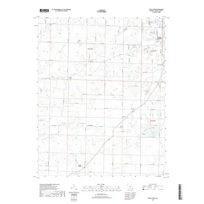
2017 Map of South Fork
USGS Topo · Published 2017About this map
South Fork and the southwestern fringes of West Plains define this Howell County landscape, where the headwaters of the S Fork Spring River and Spring Creek converge. The terrain is characterized by numerous small drainages such as Burton Creek, Mustion Creek, and Forrest Branch, which cut through the Ozark topography. This 2017 survey reveals a rural network of county roads and state routes, including State Rte K and State Hwy AB, connecting scattered homesteads and small agricultural tracts.
Find a feature on this map
106 named features on this map. Tap any name to fly to it.
Don’t see what you’re looking for? This feature index may not catch every label — zoom into the map to look around manually.
Map Details
Editions of this 2017 South Fork Map
This is the sole edition of this map. No revisions or reprints were ever made.
Other maps of this area

1938 · West Plains
USGS Topo · 1:24,000

1939 · Topaz
USGS Topo · 1:62,500

1940 · West Plains
USGS Topo · 1:24,000

1941 · Topaz
USGS Topo · 1:62,500

1944 · West Plains
USGS Topo · 1:62,500

1944 · Cureall
USGS Topo · 1:62,500

1945 · Harrison
USGS Topo · 1:250,000

1945 · Willow Springs
USGS Topo · 1:62,500

1946 · West Plains
USGS Topo · 1:62,500

1946 · Cureall
USGS Topo · 1:62,500