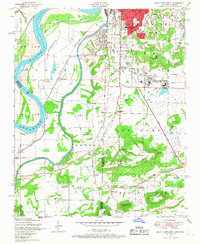
1948 Map of South Fort Smith
USGS Topo · Published 1967About this map
The Poteau River winds through this landscape, marking the winding boundary between Oklahoma Arkansas. This post-war survey illustrates the industrial and community life of the region, anchored by the Zinc smelter and Powder mill in South Fort Smith. Cultural institutions like St Scholastica Academy and Creekmore Park appear alongside the expansive Hardscrabble Golf Course, reflecting the city's mid-century development.
Find a feature on this map
52 named features on this map. Tap any name to fly to it.
Don’t see what you’re looking for? This feature index may not catch every label — zoom into the map to look around manually.
Map Details
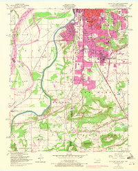
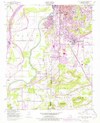
Editions of this 1948 South Fort Smith Map
3 editions found
Other maps of this area

1879 · Fort Smith
USGS Topo · 1:62,500

1887 · Van Buren
USGS Topo · 1:62,500

1887 · Greenwood
USGS Topo · 1:62,500

1890 · Fort Smith
USGS Topo · 1:125,000

1900 · Sallisaw
USGS Topo · 1:125,000

1911 · Sallisaw
USGS Topo · 1:125,000

1943 · Fort Smith
USGS Topo · 1:125,000

1946 · Fort Smith
USGS Topo · 1:250,000

1947 · Van Buren
USGS Topo · 1:62,500

1947 · Greenwood
USGS Topo · 1:62,500