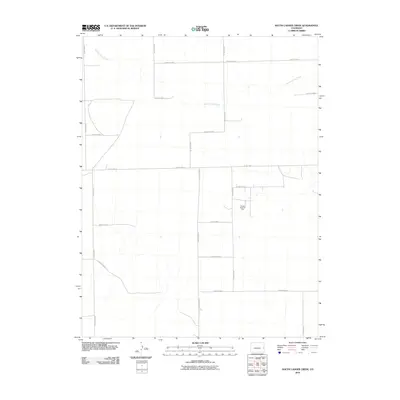
2010 Map of South Ladder Creek
USGS Topo · Published 2010About this map
Golden Spike Oil Field stands as a primary industrial landmark in this corner of Cheyenne County, reflecting the energy development that shapes the local economy. The landscape is defined by the ephemeral drainage of South Ladder Creek, which meanders through a strictly organized grid of agricultural and access roads. This infrastructure, including County Hwy G and County Hwy 40, facilitates movement across the High Plains where large-scale ranching and petroleum extraction coexist. The map captures the geometric precision of the section lines, with routes like County Road K and County Road J marking the boundaries of vast rural holdings. This layout illustrates the late 20th and early 21st-century management of the eastern Colorado plains, where water resources and mineral rights dictate the human footprint on the land.
Find a feature on this map
19 named features on this map. Tap any name to fly to it.
Don’t see what you’re looking for? This feature index may not catch every label — zoom into the map to look around manually.
Map Details
Editions of this 2010 South Ladder Creek Map
This is the sole edition of this map. No revisions or reprints were ever made.
Other maps of this area

1891 · Kit Carson
USGS Topo · 1:125,000

1892 · Cheyenne Wells
USGS Topo · 1:125,000

1893 · Kit Carson
USGS Topo · 1:125,000

1894 · Cheyenne Wells
USGS Topo · 1:125,000

1954 · Lamar
USGS Topo · 1:250,000

1958 · Lamar
USGS Topo · 1:250,000

1981 · Cheyenne Wells
USGS Topo · 1:100,000
1982 · Kit Carson 4 SE
USGS Topo · 1:24,000

1982 · Cheyenne Wells SW
USGS Topo · 1:24,000

1982 · Kit Carson 4 NE
USGS Topo · 1:24,000