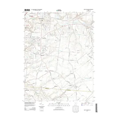
2013 Map of South Lebanon
USGS Topo · Published 2013About this map
The Little Miami River carves a winding path through this corner of Warren County, anchoring a landscape where established river towns like South Lebanon and Morrow meet the expanding reach of the Cincinnati suburbs. The geography here is defined by numerous drainage systems, including Turtle Creek, Salt Run, and O'Bannon Cr, which have historically dictated the placement of small agricultural and residential hubs such as Hopkinsville, Zoar, and Maineville.
Find a feature on this map
200 named features on this map. Tap any name to fly to it.
Don’t see what you’re looking for? This feature index may not catch every label — zoom into the map to look around manually.
Map Details
Editions of this 2013 South Lebanon Map
This is the sole edition of this map. No revisions or reprints were ever made.
Other maps of this area

1898 · East Cincinnati
USGS Topo · 1:62,500

1904 · Mason
USGS Topo · 1:62,500

1906 · Mason
USGS Topo · 1:62,500

1914 · East Cincinnati
USGS Topo · 1:62,500

1914 · Batavia
USGS Topo · 1:48,000

1914 · Morrow
USGS Topo · 1:62,500

1916 · Batavia
USGS Topo · 1:62,500

1916 · Morrow
USGS Topo · 1:62,500

1953 · Goshen
USGS Topo · 1:24,000

1953 · Newtonsville
USGS Topo · 1:24,000