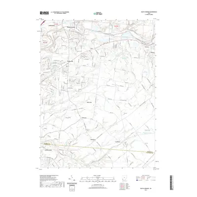
2019 Map of South Lebanon
USGS Topo · Published 2019About this map
The Little Miami River corridor defines the geography of this Warren County landscape, winding past the historic riverfront settlements of South Lebanon and Morrow. This modern survey illustrates the persistent rural character of the area through an extensive network of family and community burial grounds, including the Hill Graveyard and Tiger Cem. These sites, often situated near small drainages like Frobergers Run and Stony Run, provide critical touchstones for genealogical research in formerly unincorporated stretches between Maineville and Cozaddale.
Find a feature on this map
62 named features on this map. Tap any name to fly to it.
Don’t see what you’re looking for? This feature index may not catch every label — zoom into the map to look around manually.
Map Details
Editions of this 2019 South Lebanon Map
This is the sole edition of this map. No revisions or reprints were ever made.
Other maps of this area

1898 · East Cincinnati
USGS Topo · 1:62,500

1904 · Mason
USGS Topo · 1:62,500

1906 · Mason
USGS Topo · 1:62,500

1914 · East Cincinnati
USGS Topo · 1:62,500

1914 · Batavia
USGS Topo · 1:48,000

1914 · Morrow
USGS Topo · 1:62,500

1916 · Batavia
USGS Topo · 1:62,500

1916 · Morrow
USGS Topo · 1:62,500

1953 · Goshen
USGS Topo · 1:24,000

1953 · Newtonsville
USGS Topo · 1:24,000