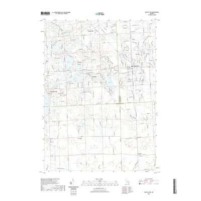
2019 Map of South Lyon
USGS Topo · Published 2019About this map
South Lyon sits at the nexus of three counties—Livingston, Oakland, and Washtenaw—serving as a focal point for a landscape characterized by its dense network of small glacial lakes and rural settlements. This survey shows the township’s transition from a rail-dependent agricultural area toward more suburban residential patterns. Historical interest is centered on the numerous family and community burial grounds scattered across the quadrangle, such as the Old Irish Cem near the Huron River and the Green Oak Cem located along 8 Mile Road. The topography is defined by significant water bodies including Whitmore Lake and the smaller Inchwagh Lake. Further south, the map documents the smaller hamlet of Worden and its associated Worden Cem, while the Hancock to Calumet Route provides a distinct modern trail through the established neighborhoods of South Lyon.
Find a feature on this map
220 named features on this map. Tap any name to fly to it.
Don’t see what you’re looking for? This feature index may not catch every label — zoom into the map to look around manually.
Map Details
Editions of this 2019 South Lyon Map
This is the sole edition of this map. No revisions or reprints were ever made.
Other maps of this area

1902 · South Lyon
USGS Topo · 1:62,500

1902 · Dexter
USGS Topo · 1:62,500

1904 · Ann Arbor
USGS Topo · 1:125,000

1906 · Dexter
USGS Topo · 1:62,500

1906 · South Lyon
USGS Topo · 1:62,500

1907 · Howell
USGS Topo · 1:62,500

1908 · Ann Arbor
USGS Topo · 1:125,000

1909 · Howell
USGS Topo · 1:62,500

1909 · Milford
USGS Topo · 1:62,500

1936 · Wixom
USGS Topo · 1:31,680
Featured Places
- Lyon Charter Township, MI
- Green Oak Charter Township, MI
- South Lyon, MI
- Northfield Township, MI
- Whitmore Lake, Green Oak Charter Township