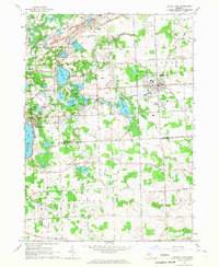
1965 Map of South Lyon
USGS Topo · Published 1967About this map
The Chesapeake and Ohio Railroad angles through the landscape of the mid-1960s, linking the established village of South Lyon to the surrounding rural townships. This survey captures a moment when the transition between Livingston, Oakland, and Washtenaw counties was marked by a dense network of glacial lakes and small agrarian settlements. Near the shores of Whitmore Lake and Green Oak Lake, the terrain is punctuated by numerous Gravel Pits, signaling the area's local industry. Family history is preserved in several burial grounds, including the Old Irish Cem and Hayes Cem, while the sprawling Island Lake State Recreation Area follows the path of the Huron River. Smaller communities like Rushton and Worden remain distinct points along the grid of farm-to-market roads, such as Base Line Road and Sixmile Road.
Find a feature on this map
79 named features on this map. Tap any name to fly to it.
Don’t see what you’re looking for? This feature index may not catch every label — zoom into the map to look around manually.
Map Details
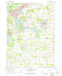
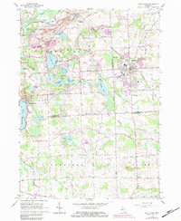
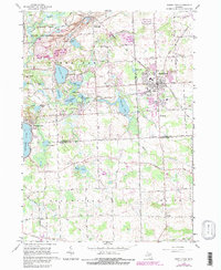
Editions of this 1965 South Lyon Map
4 editions found
Other maps of this area

1902 · South Lyon
USGS Topo · 1:62,500

1902 · Dexter
USGS Topo · 1:62,500

1904 · Ann Arbor
USGS Topo · 1:125,000

1906 · Dexter
USGS Topo · 1:62,500

1906 · South Lyon
USGS Topo · 1:62,500

1907 · Howell
USGS Topo · 1:62,500

1908 · Ann Arbor
USGS Topo · 1:125,000

1909 · Howell
USGS Topo · 1:62,500

1909 · Milford
USGS Topo · 1:62,500

1936 · Wixom
USGS Topo · 1:31,680
Featured Places
- Lyon Charter Township, MI
- Green Oak Charter Township, MI
- South Lyon, MI
- Northfield Township, MI
- Whitmore Lake, Green Oak Charter Township