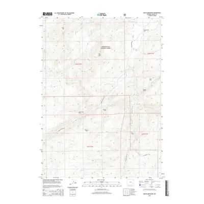
2015 Map of South Mountain
USGS Topo · Published 2015About this map
Medicine Bow National Forest dominates this high-altitude landscape in Albany County, where the N Laramie River carves a path through complex mountain terrain. The map documents a rugged drainage system where Cottonwood Cr, Arapaho Cr, and Bear Cr feed into larger arteries, supporting a network of draws and canyons like Murphy Canyon and Rattlesnake Draw. Settlement traces appear primarily in the form of named infrastructure and land management, such as the Parker Homestead Rd and the Parker Number 1 Reservoir, indicating historical ranching or agricultural water rights in this arid environment.
Find a feature on this map
29 named features on this map. Tap any name to fly to it.
Don’t see what you’re looking for? This feature index may not catch every label — zoom into the map to look around manually.
Map Details
Editions of this 2015 South Mountain Map
This is the sole edition of this map. No revisions or reprints were ever made.
Other maps of this area

1943 · Esterbrook
USGS Topo · 1:62,500

1945 · Esterbrook
USGS Topo · 1:62,500

1954 · Torrington
USGS Topo · 1:250,000

1958 · Torrington
USGS Topo · 1:250,000

1964 · Windy Peak
USGS Topo · 1:24,000

1968 · Cow Creek Mountain
USGS Topo · 1:24,000

1968 · Davidson Flats
USGS Topo · 1:24,000
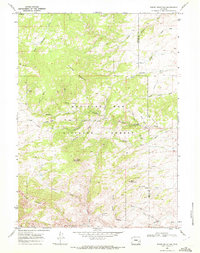
1968 · Reese Mountain
USGS Topo · 1:24,000
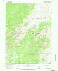
1968 · Fletcher Park
USGS Topo · 1:24,000
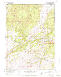
1968 · South Mountain
USGS Topo · 1:24,000