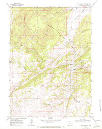
1968 Map of South Mountain
USGS Topo · Published 1972About this map
The Medicine Bow National Forest dominates this landscape in northern Albany County, where high-country drainages converge near the Bear Head Mountain summit. The North Laramie River carves through the central portion of the map, flanked by numerous ephemeral and perennial watercourses including Rattlesnake Draw and Arapaho Creek. The presence of the Double Four Ranch and the Friend Park area suggests the enduring role of cattle ranching and seasonal grazing in this corner of Wyoming.
Find a feature on this map
24 named features on this map. Tap any name to fly to it.
Don’t see what you’re looking for? This feature index may not catch every label — zoom into the map to look around manually.
Map Details
Editions of this 1968 South Mountain Map
4 editions found
Other maps of this area

1943 · Esterbrook
USGS Topo · 1:62,500

1945 · Esterbrook
USGS Topo · 1:62,500

1954 · Torrington
USGS Topo · 1:250,000

1958 · Torrington
USGS Topo · 1:250,000

1964 · Windy Peak
USGS Topo · 1:24,000

1968 · Cow Creek Mountain
USGS Topo · 1:24,000

1968 · Davidson Flats
USGS Topo · 1:24,000
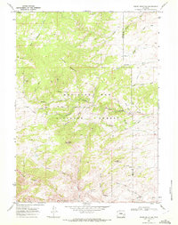
1968 · Reese Mountain
USGS Topo · 1:24,000
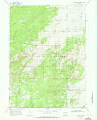
1968 · Fletcher Park
USGS Topo · 1:24,000
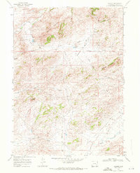
1968 · Garrett
USGS Topo · 1:24,000