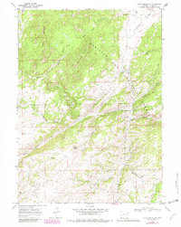
1968 Map of South Mountain
USGS Topo · Published 1982About this map
The North Laramie River winds through this high-altitude landscape in Albany County, carving deep drainage patterns through the eastern reaches of the Medicine Bow National Forest. This 1968 topography, updated with revisions in 1981, reveals a remote ranching and forestry environment where water sources like Sturgeon Creek, Rees Creek, and Siebolt Creek dictate the layout of the land. High points such as South Mountain, Bear Head Mountain, and Menter Knob anchor the terrain, while narrow passages like Murphy Canyon and Rattlesnake Draw illustrate the complex erosion patterns of the Laramie Mountains. Human activity is sparse but notable, centered on the Double Four Ranch and the recreation-oriented Friend Park in the northwest corner. This map serves as a vital record for understanding the connectivity of old mountain routes like Fletcher Park Road before more modern developments altered the character of this Wyoming wilderness.
Find a feature on this map
29 named features on this map. Tap any name to fly to it.
Don’t see what you’re looking for? This feature index may not catch every label — zoom into the map to look around manually.
Map Details
Editions of this 1968 South Mountain Map
4 editions found
Other maps of this area

1943 · Esterbrook
USGS Topo · 1:62,500

1945 · Esterbrook
USGS Topo · 1:62,500

1954 · Torrington
USGS Topo · 1:250,000

1958 · Torrington
USGS Topo · 1:250,000

1964 · Windy Peak
USGS Topo · 1:24,000

1968 · Cow Creek Mountain
USGS Topo · 1:24,000

1968 · Davidson Flats
USGS Topo · 1:24,000
1968 · Reese Mountain
USGS Topo · 1:24,000
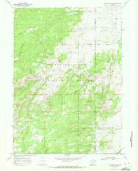
1968 · Fletcher Park
USGS Topo · 1:24,000
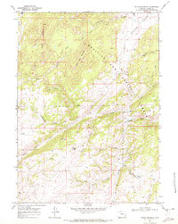
1968 · South Mountain
USGS Topo · 1:24,000