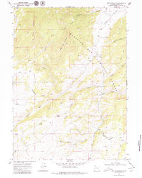
1968 Map of South Mountain
USGS Topo · Published 1980About this map
Medicine Bow National Forest dominates this section of Albany County, where high peaks like South Mountain and Bear Head Mountain overlook a complex network of canyons and draws. This late-1960s survey captures the remote ranching landscape near the North Laramie River, which winds through the central portion of the quadrangle. The presence of the Double Four Ranch and the nearby Gravel Pit indicates a landscape shaped by both traditional livestock operations and localized extraction. Topographical features such as Menter Knob and Friend Park provide distinct landmarks in an area defined by sharp elevation changes and numerous seasonal watercourses, including Cottonwood Creek and Sturgeon Creek. The isolation of the region is underscored by the sparse infrastructure, consisting primarily of the Fletcher Park Road and secondary trails leading into the surrounding draws and canyons.
Find a feature on this map
31 named features on this map. Tap any name to fly to it.
Don’t see what you’re looking for? This feature index may not catch every label — zoom into the map to look around manually.
Map Details
Editions of this 1968 South Mountain Map
4 editions found
Other maps of this area

1943 · Esterbrook
USGS Topo · 1:62,500

1945 · Esterbrook
USGS Topo · 1:62,500

1954 · Torrington
USGS Topo · 1:250,000

1958 · Torrington
USGS Topo · 1:250,000

1964 · Windy Peak
USGS Topo · 1:24,000

1968 · Cow Creek Mountain
USGS Topo · 1:24,000

1968 · Davidson Flats
USGS Topo · 1:24,000
1968 · Reese Mountain
USGS Topo · 1:24,000
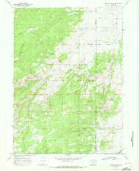
1968 · Fletcher Park
USGS Topo · 1:24,000
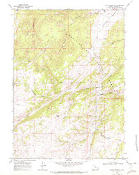
1968 · South Mountain
USGS Topo · 1:24,000