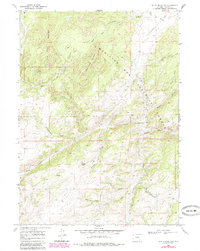
1968 Map of South Mountain
USGS Topo · Published 1985About this map
The North Laramie River carves through this portion of Albany County, defining a landscape dominated by the high elevations of the Medicine Bow National Forest. The map centers on significant peaks such as South Mountain and Bear Head Mountain, showing the complex drainage systems of Cottonwood Creek and Bear Creek that feed into the river valley. The presence of the Double Four Ranch and Friend Park suggests the traditional ranching and recreational use of these mountain foothills during the mid-20th century.
Find a feature on this map
26 named features on this map. Tap any name to fly to it.
Don’t see what you’re looking for? This feature index may not catch every label — zoom into the map to look around manually.
Map Details
Editions of this 1968 South Mountain Map
4 editions found
Other maps of this area

1943 · Esterbrook
USGS Topo · 1:62,500

1945 · Esterbrook
USGS Topo · 1:62,500

1954 · Torrington
USGS Topo · 1:250,000

1958 · Torrington
USGS Topo · 1:250,000

1964 · Windy Peak
USGS Topo · 1:24,000

1968 · Cow Creek Mountain
USGS Topo · 1:24,000

1968 · Davidson Flats
USGS Topo · 1:24,000
1968 · Reese Mountain
USGS Topo · 1:24,000
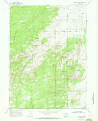
1968 · Fletcher Park
USGS Topo · 1:24,000
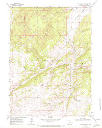
1968 · South Mountain
USGS Topo · 1:24,000