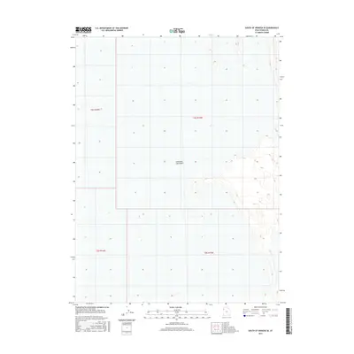
2017 Map of South of Arinosa SE
USGS Topo · Published 2017About this map
Great Salt Lake Desert dominates this 2017 survey of the West Desert in Tooele County, Utah. The landscape is defined by the stark, level expanse of the salt flats, characterized by the 4,250-foot contour line that marks the edge of the desert floor. This map covers a transition zone where the vast basin meets subtle topographic rises, providing an exact record of the Public Land Survey System (PLSS) grid across townships t4s r16w, t4s r15w, t5s r16w, and t5s r15w. The lack of man-made infrastructure or named settlements highlights the extreme isolation of this portion of the eastern Great Basin, serving as a baseline for the hydrography and elevation of the desert as it appeared in the mid-2010s.
Find a feature on this map
5 named features on this map. Tap any name to fly to it.
Don’t see what you’re looking for? This feature index may not catch every label — zoom into the map to look around manually.
Map Details
Editions of this 2017 South of Arinosa SE Map
This is the sole edition of this map. No revisions or reprints were ever made.
Other maps of this area

1953 · Tooele
USGS Topo · 1:250,000

1955 · Tooele
USGS Topo · 1:250,000

1973 · Knolls SW
USGS Topo · 1:24,000

1973 · Arinosa SE
USGS Topo · 1:24,000

1973 · Arinosa SW
USGS Topo · 1:24,000

1973 · Wildcat Mountain SW
USGS Topo · 1:24,000

1973 · Wildcat Mountain NW
USGS Topo · 1:24,000

1973 · Gold Hill 1 SE
USGS Topo · 1:24,000

1973 · Gold Hill 1 SW
USGS Topo · 1:24,000

1973 · Gold Hill 1 NE
USGS Topo · 1:24,000