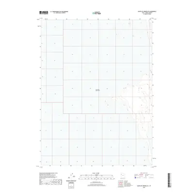
2020 Map of South of Arinosa SE
USGS Topo · Published 2020About this map
The Great Salt Lake Desert dominates this 2020 topographic map of Tooele County, Utah, providing a stark look at the vast basin floor. This area is characterized by its extreme flatness and subtle contour lines that reveal the former lakebed’s ancient geometry. As a U.S. Geological Survey document, it tracks the intricate public land survey system grid across a landscape defined by its lack of permanent water or settlements. The mapping of this specific quadrant highlights the desolate terrain typical of the western edge of the Great Salt Lake region, where few landmarks exist beyond the expansive desert floor itself.
Find a feature on this map
1 named feature on this map. Tap any name to fly to it.
Don’t see what you’re looking for? This feature index may not catch every label — zoom into the map to look around manually.
Map Details
Editions of this 2020 South of Arinosa SE Map
This is the sole edition of this map. No revisions or reprints were ever made.
Other maps of this area

1953 · Tooele
USGS Topo · 1:250,000

1955 · Tooele
USGS Topo · 1:250,000

1973 · Knolls SW
USGS Topo · 1:24,000

1973 · Arinosa SE
USGS Topo · 1:24,000

1973 · Arinosa SW
USGS Topo · 1:24,000

1973 · Wildcat Mountain SW
USGS Topo · 1:24,000

1973 · Wildcat Mountain NW
USGS Topo · 1:24,000

1973 · Gold Hill 1 SE
USGS Topo · 1:24,000

1973 · Gold Hill 1 SW
USGS Topo · 1:24,000

1973 · Gold Hill 1 NE
USGS Topo · 1:24,000