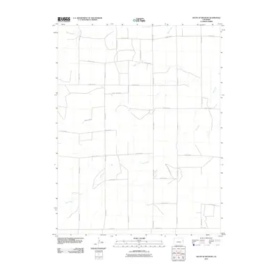
2010 Map of South of Bethune
USGS Topo · Published 2010About this map
The High Plains of Kit Carson County are defined by a rhythmic, grid-based road network that reflects the agricultural expansion of eastern Colorado. Intersecting this orderly layout are the meandering paths of Sand Creek, Beaver Creek, and Landsman Creek, which provide the only relief from the geometric precision of the township-and-range surveying system. This 2010 topographic record highlights the transition from traditional throughfares to a more complex regional infrastructure, including north-south corridors like County Hwy 40 and east-west routes such as County Road R and County Rd G. The map documents a landscape where modern agricultural commerce relies on this extensive web of numbered county roads to connect remote farmsteads with the broader region.
Find a feature on this map
22 named features on this map. Tap any name to fly to it.
Don’t see what you’re looking for? This feature index may not catch every label — zoom into the map to look around manually.
Map Details
Editions of this 2010 South of Bethune Map
This is the sole edition of this map. No revisions or reprints were ever made.
Other maps of this area

1954 · Limon
USGS Topo · 1:250,000

1957 · Limon
USGS Topo · 1:250,000

1958 · Limon
USGS Topo · 1:250,000

1969 · Alpine Ranch NE
USGS Topo · 1:24,000

1969 · Burlington 3 SE
USGS Topo · 1:24,000

1969 · Bethune
USGS Topo · 1:24,000

1969 · Burlington
USGS Topo · 1:24,000

1969 · Burlington 3 NW
USGS Topo · 1:24,000

1969 · Stratton
USGS Topo · 1:24,000

1969 · Alpine Ranch
USGS Topo · 1:24,000