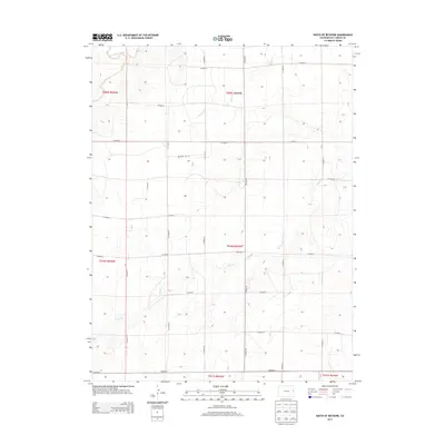
2013 Map of South of Bethune
USGS Topo · Published 2013About this map
The High Plains of Kit Carson County are defined here by a rhythmic grid of agricultural transit and ephemeral waterways. In this corner of Colorado, the drainage of Landsman Creek and the meandering paths of Beaver Cr and Sand Cr break the geometric precision of the county road system. These intermittent creeks provide the primary relief in a landscape otherwise structured by long, straight sections of CO Road R and CO Road G. The map detail captures the rural infrastructure of the early 21st century, showing how CO Hwy 40 serves as a central spine for the dispersed farmsteads and ranchlands. This survey is particularly useful for researchers tracing land divisions and section lines across several townships, including t009s r045w and t010s r046w.
Find a feature on this map
25 named features on this map. Tap any name to fly to it.
Don’t see what you’re looking for? This feature index may not catch every label — zoom into the map to look around manually.
Map Details
Editions of this 2013 South of Bethune Map
This is the sole edition of this map. No revisions or reprints were ever made.
Other maps of this area

1954 · Limon
USGS Topo · 1:250,000

1957 · Limon
USGS Topo · 1:250,000

1958 · Limon
USGS Topo · 1:250,000

1969 · Alpine Ranch NE
USGS Topo · 1:24,000

1969 · Burlington 3 SE
USGS Topo · 1:24,000

1969 · Bethune
USGS Topo · 1:24,000

1969 · Burlington
USGS Topo · 1:24,000

1969 · Burlington 3 NW
USGS Topo · 1:24,000

1969 · Stratton
USGS Topo · 1:24,000

1969 · Alpine Ranch
USGS Topo · 1:24,000