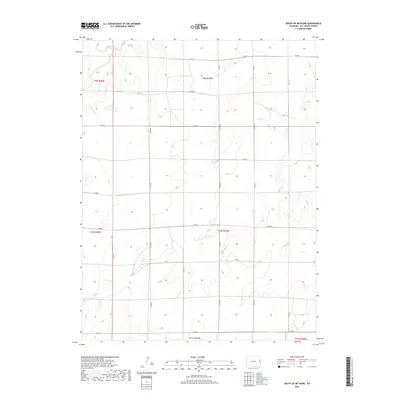
2019 Map of South of Bethune
USGS Topo · Published 2019About this map
Landsman Creek and its seasonal tributaries define this section of the High Plains south of the Interstate corridor in Kit Carson County. The landscape is a testament to the Public Land Survey System, where a rigid grid of county roads, including Co Rd R and Co Rd G, follows the township and range lines established long ago. This geometric network of thoroughfares such as Co Rd 37 and Co Rd 42 organizes the vast agricultural parcels that dominate the region. The topography is marked by the subtle drainage patterns of Sand Cr and Beaver Cr, which cut through the level terrain. For those studying the history of rural land use, this map provides an exact look at the 21st-century road and drainage infrastructure that continues to support the area's ranching and farming operations.
Find a feature on this map
23 named features on this map. Tap any name to fly to it.
Don’t see what you’re looking for? This feature index may not catch every label — zoom into the map to look around manually.
Map Details
Editions of this 2019 South of Bethune Map
This is the sole edition of this map. No revisions or reprints were ever made.
Other maps of this area

1954 · Limon
USGS Topo · 1:250,000

1957 · Limon
USGS Topo · 1:250,000

1958 · Limon
USGS Topo · 1:250,000

1969 · Alpine Ranch NE
USGS Topo · 1:24,000

1969 · Burlington 3 SE
USGS Topo · 1:24,000

1969 · Bethune
USGS Topo · 1:24,000

1969 · Burlington
USGS Topo · 1:24,000

1969 · Burlington 3 NW
USGS Topo · 1:24,000

1969 · Stratton
USGS Topo · 1:24,000

1969 · Alpine Ranch
USGS Topo · 1:24,000