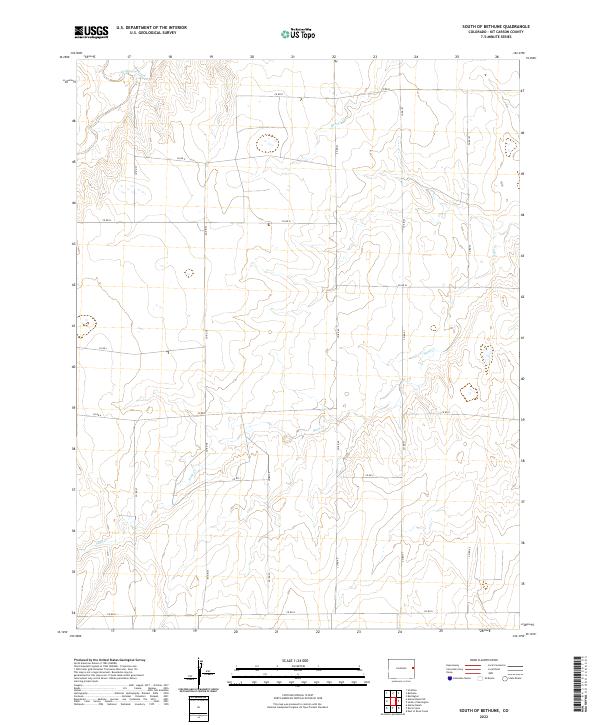
2022 Map of South of Bethune
USGS Topo · Published 2022About this map
The High Plains landscape of eastern Colorado is defined here by the seasonal drainage patterns of Sand Cr, Beaver Cr, and Landsman Creek. This area of Kit Carson County exhibits a rigid Public Land Survey System structure, with a grid of county roads such as Co Rd R and Co Rd 40 marking the section lines of Townships 9, 10, and 11 South. The topography is characterized by subtle elevation shifts along the creek beds, providing a clear view of the rural transport network used by local agriculture. Without major town centers, the map focuses on the precise spatial organization of the plains, where naming conventions for roads like Co Rd G and Co Rd 38 reveal the systematic development of the region's infrastructure.
Find a feature on this map
23 named features on this map. Tap any name to fly to it.
Don’t see what you’re looking for? This feature index may not catch every label — zoom into the map to look around manually.
Map Details
Editions of this 2022 South of Bethune Map
This is the sole edition of this map. No revisions or reprints were ever made.
Other maps of this area

1954 · Limon
USGS Topo · 1:250,000

1957 · Limon
USGS Topo · 1:250,000

1958 · Limon
USGS Topo · 1:250,000

1969 · Alpine Ranch NE
USGS Topo · 1:24,000

1969 · Burlington 3 SE
USGS Topo · 1:24,000

1969 · Bethune
USGS Topo · 1:24,000

1969 · Burlington
USGS Topo · 1:24,000

1969 · Burlington 3 NW
USGS Topo · 1:24,000

1969 · Stratton
USGS Topo · 1:24,000

1969 · Alpine Ranch
USGS Topo · 1:24,000