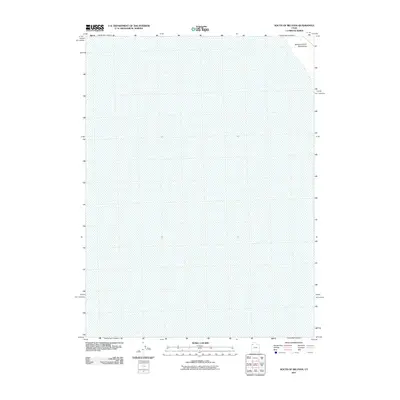
2011 Map of South of Big Pass
USGS Topo · Published 2011About this map
The Newfoundland Mountains rise in the northeastern corner of this map, overlooking a vast, largely undeveloped landscape in the Great Basin region. This 2011 survey, produced by the U.S. Geological Survey, focuses on a sparsely detailed area where the topography is defined primarily by subtle changes in elevation across a desert basin. The concentration of the terrain in one small sector of the map suggests a transition from the level flats to the more varied geography found immediately to the north. Because of the minimal settlement and lack of infrastructure at the time of the imagery, this sheet is particularly useful for geologists or those studying the untouched physical geography of Tooele County's more isolated territories.
Find a feature on this map
1 named feature on this map. Tap any name to fly to it.
Don’t see what you’re looking for? This feature index may not catch every label — zoom into the map to look around manually.
Map Details
Editions of this 2011 South of Big Pass Map
This is the sole edition of this map. No revisions or reprints were ever made.
Other maps of this area

1953 · Tooele
USGS Topo · 1:250,000

1954 · Brigham City
USGS Topo · 1:250,000

1955 · Tooele
USGS Topo · 1:250,000

1958 · Brigham City
USGS Topo · 1:250,000

1962 · Brigham City
USGS Topo · 1:250,000

1973 · Knolls 2 NW
USGS Topo · 1:24,000

1973 · Floating Island SE
USGS Topo · 1:24,000

1973 · Knolls 2 NE
USGS Topo · 1:24,000

1973 · Floating Island NE
USGS Topo · 1:24,000

1973 · Knolls 2 SW
USGS Topo · 1:24,000