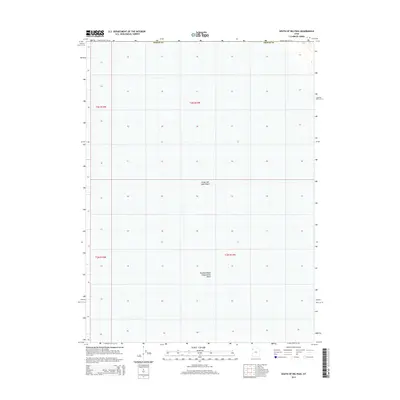
2014 Map of South of Big Pass
USGS Topo · Published 2014About this map
Great Salt Lake Desert dominates this arid landscape within Tooele County, revealing a terrain defined by expansive salt flats and minimal topographic relief. The map illustrates a remote section of the western Utah wilderness as it appeared in the early 21st century, centered on the Newfoundland Evaporation Basin. This industrial-scale hydrologic feature highlights the region's historical role in mineral extraction and salt production, where brine is managed across vast, level reaches. The grid system of townships t3n r14w and t2n r14w provides the primary structure for this otherwise feature-sparse section of the desert floor, where traditional landmarks are replaced by the specialized engineering of evaporation ponds.
Find a feature on this map
5 named features on this map. Tap any name to fly to it.
Don’t see what you’re looking for? This feature index may not catch every label — zoom into the map to look around manually.
Map Details
Editions of this 2014 South of Big Pass Map
This is the sole edition of this map. No revisions or reprints were ever made.
Other maps of this area

1953 · Tooele
USGS Topo · 1:250,000

1954 · Brigham City
USGS Topo · 1:250,000

1955 · Tooele
USGS Topo · 1:250,000

1958 · Brigham City
USGS Topo · 1:250,000

1962 · Brigham City
USGS Topo · 1:250,000

1973 · Knolls 2 NW
USGS Topo · 1:24,000

1973 · Floating Island SE
USGS Topo · 1:24,000

1973 · Knolls 2 NE
USGS Topo · 1:24,000

1973 · Floating Island NE
USGS Topo · 1:24,000

1973 · Knolls 2 SW
USGS Topo · 1:24,000