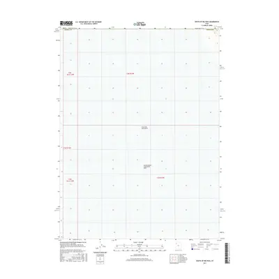
2017 Map of South of Big Pass
USGS Topo · Published 2017About this map
The Great Salt Lake Desert dominates this section of western Utah, revealing a landscape defined by expansive salt flats and specialized industrial hydrology. This 2017 survey by the U.S. Geological Survey focuses on a stark environment within Tooele County, where natural desert features meet the Newfoundland Evaporation Basin. The grid patterns of the Public Land Survey System divide the terrain into townships such as t3n r14w and t2n r14w, illustrating how this seemingly empty space is formally organized for administrative and land management purposes. The topographic detail, though minimal in this flat basin, tracks the subtle shifts in elevation and water containment that characterize this portion of the Great Basin.
Find a feature on this map
8 named features on this map. Tap any name to fly to it.
Don’t see what you’re looking for? This feature index may not catch every label — zoom into the map to look around manually.
Map Details
Editions of this 2017 South of Big Pass Map
This is the sole edition of this map. No revisions or reprints were ever made.
Other maps of this area

1953 · Tooele
USGS Topo · 1:250,000

1954 · Brigham City
USGS Topo · 1:250,000

1955 · Tooele
USGS Topo · 1:250,000

1958 · Brigham City
USGS Topo · 1:250,000

1962 · Brigham City
USGS Topo · 1:250,000

1973 · Knolls 2 NW
USGS Topo · 1:24,000

1973 · Floating Island SE
USGS Topo · 1:24,000

1973 · Knolls 2 NE
USGS Topo · 1:24,000

1973 · Floating Island NE
USGS Topo · 1:24,000

1973 · Knolls 2 SW
USGS Topo · 1:24,000