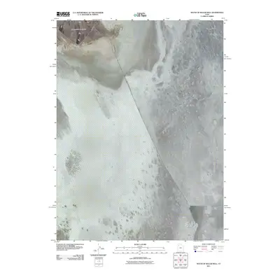
2011 Map of South of Keller Well
USGS Topo · Published 2011About this map
Newfoundland Mountains dominate the northwestern corner of this quadrangle, providing a significant vertical contrast to the surrounding salt flats of the Great Salt Lake Desert. This specific area of Tooele County is defined by the striking presence of the Newfoundland Dike, a man-made causeway that cuts a straight, diagonal path across the expansive alkali flats. The landscape reveals the isolation of these northern Utah salt pans, where topographical relief is almost entirely absent outside of the primary mountain range. The map serves as a record of mid-twentieth-century industrial and transportation infrastructure within one of the most desolate environments in the United States, illustrating how the Newfoundland Dike creates a definitive line across the basin floor.
Find a feature on this map
2 named features on this map. Tap any name to fly to it.
Don’t see what you’re looking for? This feature index may not catch every label — zoom into the map to look around manually.
Map Details
Editions of this 2011 South of Keller Well Map
This is the sole edition of this map. No revisions or reprints were ever made.
Other maps of this area

1953 · Tooele
USGS Topo · 1:250,000

1954 · Brigham City
USGS Topo · 1:250,000

1955 · Tooele
USGS Topo · 1:250,000

1958 · Brigham City
USGS Topo · 1:250,000

1962 · Brigham City
USGS Topo · 1:250,000

1973 · Knolls 2 NW
USGS Topo · 1:24,000

1973 · Knolls 2 NE
USGS Topo · 1:24,000

1973 · Grayback Hills
USGS Topo · 1:24,000

1973 · Finger Ridge
USGS Topo · 1:24,000

1973 · Knolls 2 SW
USGS Topo · 1:24,000