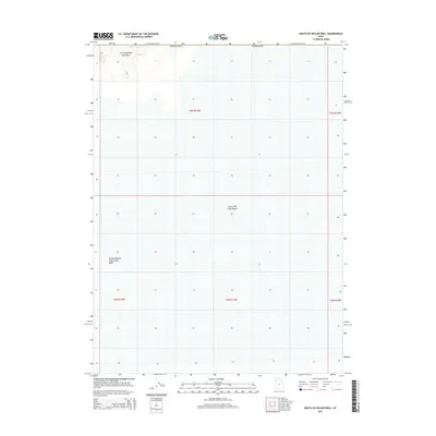
2014 Map of South of Keller Well
USGS Topo · Published 2014About this map
The Great Salt Lake Desert dominates this Tooele County landscape, showing the stark salt flats as they appeared in 2014. In the northwest corner, the southern tip of the Newfoundland Mountains provides a distinct topographic break from the surrounding level terrain. This area is characterized by heavy industrial salt management, centered on the expansive Newfoundland Evaporation Basin. The map illustrates the grid-like township and range system that overlays this remote section of the desert, where natural landforms and massive human-engineered basins intersect in a region defined by extreme aridity and brine-based industry.
Find a feature on this map
4 named features on this map. Tap any name to fly to it.
Don’t see what you’re looking for? This feature index may not catch every label — zoom into the map to look around manually.
Map Details
Editions of this 2014 South of Keller Well Map
This is the sole edition of this map. No revisions or reprints were ever made.
Other maps of this area

1953 · Tooele
USGS Topo · 1:250,000

1954 · Brigham City
USGS Topo · 1:250,000

1955 · Tooele
USGS Topo · 1:250,000

1958 · Brigham City
USGS Topo · 1:250,000

1962 · Brigham City
USGS Topo · 1:250,000

1973 · Knolls 2 NW
USGS Topo · 1:24,000

1973 · Knolls 2 NE
USGS Topo · 1:24,000

1973 · Grayback Hills
USGS Topo · 1:24,000

1973 · Finger Ridge
USGS Topo · 1:24,000

1973 · Knolls 2 SW
USGS Topo · 1:24,000