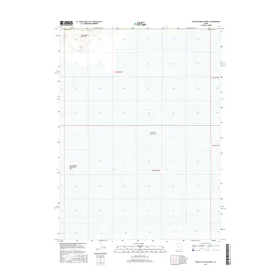
2017 Map of South of Keller Well
USGS Topo · Published 2017About this map
The Newfoundland Mountains rise out of the northwestern corner of this territory, providing the only significant topographic relief in an otherwise flat expanse of the Great Salt Lake Desert. This arid environment in Tooele County is defined by its extreme isolation and the presence of the Newfoundland Evaporation Basin, a feature reflecting the unique hydrological and industrial history of the region. The map captures the stark intersection of high desert peaks and the expansive salt flats, showing the township and range lines that divide this remote segment of the Great Basin into a geometric grid. This survey serves as a clear record of the physical geography and land management boundaries within a landscape largely devoid of human settlements or improved roads.
Find a feature on this map
8 named features on this map. Tap any name to fly to it.
Don’t see what you’re looking for? This feature index may not catch every label — zoom into the map to look around manually.
Map Details
Editions of this 2017 South of Keller Well Map
This is the sole edition of this map. No revisions or reprints were ever made.
Other maps of this area

1953 · Tooele
USGS Topo · 1:250,000

1954 · Brigham City
USGS Topo · 1:250,000

1955 · Tooele
USGS Topo · 1:250,000

1958 · Brigham City
USGS Topo · 1:250,000

1962 · Brigham City
USGS Topo · 1:250,000

1973 · Knolls 2 NW
USGS Topo · 1:24,000

1973 · Knolls 2 NE
USGS Topo · 1:24,000

1973 · Grayback Hills
USGS Topo · 1:24,000

1973 · Finger Ridge
USGS Topo · 1:24,000

1973 · Knolls 2 SW
USGS Topo · 1:24,000