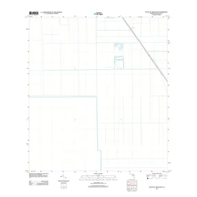
2012 Map of South of Okeelanta
USGS Topo · Published 2012About this map
North New River Canal cuts a distinct diagonal path through this section of the Florida Everglades, serving as a primary corridor for water management in Palm Beach County. The landscape is defined by the rigid geometry of drainage canals and agricultural plots, characteristic of the region's managed wetlands during the early 21st century. Along the northeastern edge of the sheet, Levee 19 runs parallel to the canal and US Route 27, illustrating the massive infrastructure required to control water flow and support land use in this low-lying area. This 2012 survey captures the intersection of industrial-scale water engineering and the vast, grid-patterned fields that dominate the territory south of Okeelanta.
Find a feature on this map
2 named features on this map. Tap any name to fly to it.
Don’t see what you’re looking for? This feature index may not catch every label — zoom into the map to look around manually.
Map Details
Editions of this 2012 South of Okeelanta Map
This is the sole edition of this map. No revisions or reprints were ever made.
Other maps of this area

1956 · West Palm Beach
USGS Topo · 1:250,000

1957 · West Palm Beach
USGS Topo · 1:250,000

1958 · West Palm Beach
USGS Topo · 1:250,000

1970 · Lake Harbor SE
USGS Topo · 1:24,000

1970 · Okeelanta
USGS Topo · 1:24,000

1970 · Shawano
USGS Topo · 1:24,000

1974 · Everglades 1 SW
USGS Topo · 1:24,000

1974 · Everglades 2 SE
USGS Topo · 1:24,000

1974 · Everglades 1 NW
USGS Topo · 1:24,000

1974 · Everglades 1 SE
USGS Topo · 1:24,000