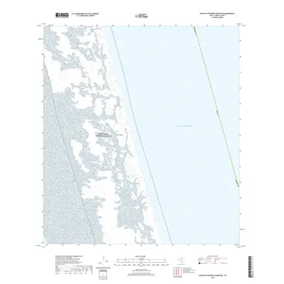
2019 Map of South of Potrero Lopeno NE
USGS Topo · Published 2019About this map
Padre Island dominates this coastal landscape, showing a complex network of barrier island terrain along the Texas coast. This portion of the Padre Island National Seashore captures the shifting environment of dunes and wetlands where the island meets the Gulf of Mexico. The map illustrates the specialized geography of the barrier system within Kenedy County, highlighting the intersection of protected federal land and the open sea. While devoid of traditional settlements, the survey documents the intricate shoreline and the maritime boundary of Texas, providing a detailed record of this coastal reach for researchers of Gulf geography and conservation history.
Find a feature on this map
5 named features on this map. Tap any name to fly to it.
Don’t see what you’re looking for? This feature index may not catch every label — zoom into the map to look around manually.
Map Details
Editions of this 2019 South of Potrero Lopeno NE Map
This is the sole edition of this map. No revisions or reprints were ever made.
Other maps of this area

1923 · Lopena Island
USGS Topo · 1:62,500

1951 · South of Potrero Lopeno NE
USGS Topo · 1:24,000

1952 · Potrero Lopeno SE
USGS Topo · 1:24,000

1952 · South of Potrero Lopeno NW
USGS Topo · 1:24,000

1952 · South of Potrero Lopeno SE
USGS Topo · 1:24,000

1952 · Port Mansfield
USGS Topo · 1:24,000

1952 · Potrero Lopeno SW
USGS Topo · 1:24,000

1952 · Potrero Lopeno
USGS Topo · 1:62,500

1952 · South of Potrero Lopeno
USGS Topo · 1:62,500

1953 · Brownsville
USGS Topo · 1:250,000