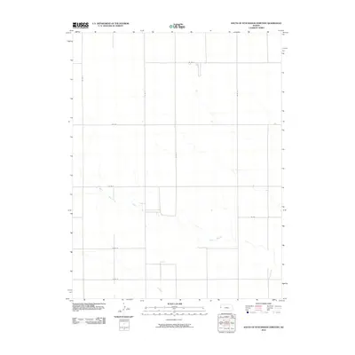
2010 Map of South of Stockholm Cemetery
USGS Topo · Published 2010About this map
White Woman Creek meanders through the central and southern reaches of this high plains landscape, defining the topography of Tribune Township. This 2010 survey illustrates the rigid section-line organization typical of western Kansas, where a systematic network of rural routes like Astor Rd and Co Rd 7 segment the prairie into precise agricultural blocks. The absence of concentrated town centers emphasizes the area's rural character, centered around the drainage of the creek as it moves east toward the Colorado-Kansas border region. Genealogists and historians can use these specific county road identifiers, such as Co Rd G and Co Rd N, to locate former farmsteads and land tracts that were originally part of the Stockholm community legacy.
Find a feature on this map
11 named features on this map. Tap any name to fly to it.
Don’t see what you’re looking for? This feature index may not catch every label — zoom into the map to look around manually.
Map Details
Editions of this 2010 South of Stockholm Cemetery Map
This is the sole edition of this map. No revisions or reprints were ever made.
Other maps of this area

1890 · Granada
USGS Topo · 1:125,000

1892 · Cheyenne Wells
USGS Topo · 1:125,000

1892 · Granada
USGS Topo · 1:125,000

1894 · Cheyenne Wells
USGS Topo · 1:125,000

1894 · Granada
USGS Topo · 1:125,000

1954 · Lamar
USGS Topo · 1:250,000

1955 · Scott City
USGS Topo · 1:250,000

1958 · Lamar
USGS Topo · 1:250,000

1958 · Scott City
USGS Topo · 1:250,000

1968 · Sharon Springs 3 NE
USGS Topo · 1:24,000