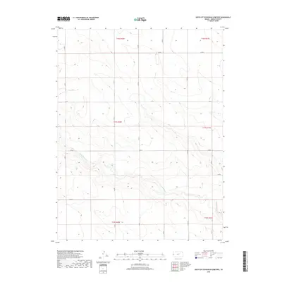
2018 Map of South of Stockholm Cemetery
USGS Topo · Published 2018About this map
White Woman Cr meanders across this rural section of Greeley County, defining the drainage patterns of an otherwise highly structured agricultural landscape. The 2018 survey reveals a territory strictly organized by the Public Land Survey System, with township boundaries like t17s r42w and t17s r41w partitioning the High Plains. The infrastructure is dominated by a precise grid of county roads, including north-south corridors like Co Rd 4 and Co Rd 288, and east-west routes such as Co Rd K. This network illustrates the enduring reliance on the section line system for property access and transportation in western Kansas. The lack of concentrated settlements or named townsites highlights the region's character as a specialized grain-growing area, where the vast scale of individual farmsteads is reflected in the wide intervals between the maintained thoroughfares.
Find a feature on this map
18 named features on this map. Tap any name to fly to it.
Don’t see what you’re looking for? This feature index may not catch every label — zoom into the map to look around manually.
Map Details
Editions of this 2018 South of Stockholm Cemetery Map
This is the sole edition of this map. No revisions or reprints were ever made.
Other maps of this area

1890 · Granada
USGS Topo · 1:125,000

1892 · Cheyenne Wells
USGS Topo · 1:125,000

1892 · Granada
USGS Topo · 1:125,000

1894 · Cheyenne Wells
USGS Topo · 1:125,000

1894 · Granada
USGS Topo · 1:125,000

1954 · Lamar
USGS Topo · 1:250,000

1955 · Scott City
USGS Topo · 1:250,000

1958 · Lamar
USGS Topo · 1:250,000

1958 · Scott City
USGS Topo · 1:250,000

1968 · Sharon Springs 3 NE
USGS Topo · 1:24,000