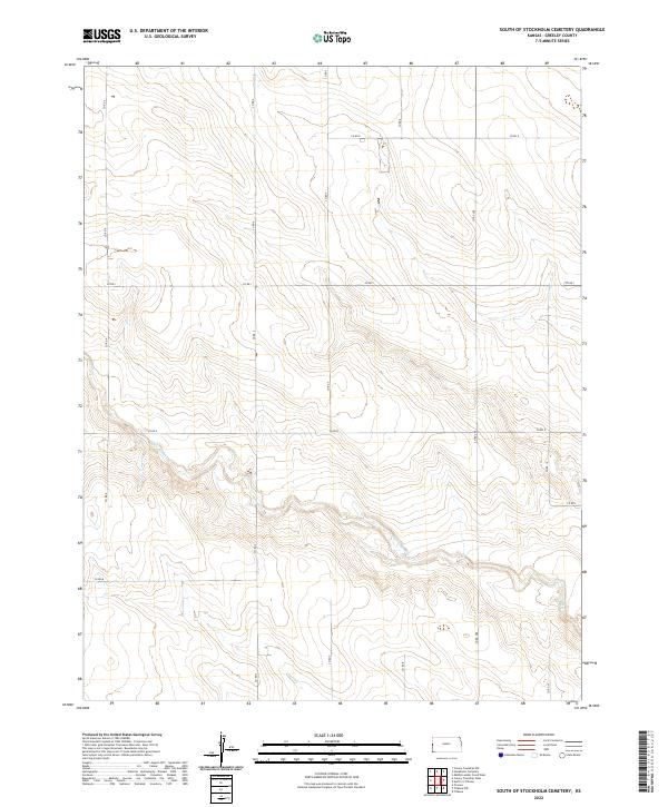
2022 Map of South of Stockholm Cemetery
USGS Topo · Published 2022About this map
White Woman Cr meanders across this rural section of Greeley County, defining the drainage patterns of an otherwise orderly agricultural landscape. The terrain is structured by a precise grid of county roads, including Co Rd 4, Co Rd 7, and Co Rd G, which trace the section lines of the Public Land Survey System. These boundaries, marked by townships such as t17s r42w and t17s r41w, reflect the late 19th-century transition of the High Plains into a systematic network of farmsteads and ranch lands. The lack of concentrated settlements highlights the expansive nature of Western Kansas land use, where movement is dictated by long-distance routes like Co Rd 288 and the seasonal flows of prairie creeks.
Find a feature on this map
18 named features on this map. Tap any name to fly to it.
Don’t see what you’re looking for? This feature index may not catch every label — zoom into the map to look around manually.
Map Details
Editions of this 2022 South of Stockholm Cemetery Map
This is the sole edition of this map. No revisions or reprints were ever made.
Other maps of this area

1890 · Granada
USGS Topo · 1:125,000

1892 · Cheyenne Wells
USGS Topo · 1:125,000

1892 · Granada
USGS Topo · 1:125,000

1894 · Cheyenne Wells
USGS Topo · 1:125,000

1894 · Granada
USGS Topo · 1:125,000

1954 · Lamar
USGS Topo · 1:250,000

1955 · Scott City
USGS Topo · 1:250,000

1958 · Lamar
USGS Topo · 1:250,000

1958 · Scott City
USGS Topo · 1:250,000

1968 · Sharon Springs 3 NE
USGS Topo · 1:24,000