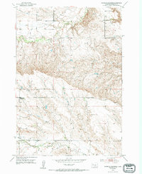
1953 Map of South of Volunteer
USGS Topo · Published 1994About this map
Bear Butte Creek and Alkali Creek define the drainage patterns of this Meade County landscape, where rural life in the early 1950s was anchored by a network of local schoolhouses. The topography is marked by significant elevation changes, with the north-south running Alkali Road providing a primary transit corridor through the undulating terrain. A clear pattern of educational distribution is evident in the placement of the Volunteer Sch, Wolff Sch, North Middle Alkali Sch, and Lower Alkali Sch, illustrating how rural South Dakota communities organized themselves around decentralized one-room school districts. Small-scale industrial activity is limited, represented only by a single Gravel Pit, suggesting an economy primarily driven by ranching or dryland farming typical of the region during this post-war era.
Find a feature on this map
9 named features on this map. Tap any name to fly to it.
Don’t see what you’re looking for? This feature index may not catch every label — zoom into the map to look around manually.
Map Details
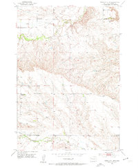
Editions of this 1953 South of Volunteer Map
3 editions found

Other maps of this area

1893 · Rapid
USGS Topo · 1:125,000

1898 · Rapid
USGS Topo · 1:125,000

1903 · Rapid
USGS Topo · 1:125,000

1906 · Vale
USGS Topo · 1:62,500

1913 · Newell
USGS Topo · 1:125,000

1951 · Volunteer
USGS Topo · 1:24,000

1951 · Volunteer SE
USGS Topo · 1:24,000

1951 · Vale SE
USGS Topo · 1:24,000

1951 · Vale
USGS Topo · 1:62,500

1953 · Rapid City 1 SW
USGS Topo · 1:24,000