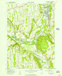
1955 Map of South Onondaga
USGS Topo · Published 1956About this map
The Onondaga Indian Reservation anchors the central and eastern portions of this mid-century survey, showing a landscape defined by the winding course of Onondaga Creek and the steep elevation of Bare Mountain. To the north, the encroaching City Boundary of Syracuse meets the suburbanizing corridor of Nedrow, where the Nedrow Air Park, a Drive-in Theater, and Radio Transmitting Towers (WSYR) reflect the era's growing infrastructure.
Find a feature on this map
72 named features on this map. Tap any name to fly to it.
Don’t see what you’re looking for? This feature index may not catch every label — zoom into the map to look around manually.
Map Details
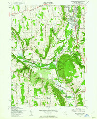
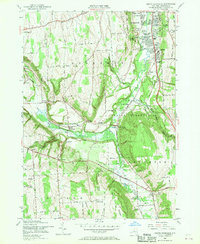
Editions of this 1955 South Onondaga Map
3 editions found
Other maps of this area

1895 · Syracuse
USGS Topo · 1:62,500

1898 · Syracuse
USGS Topo · 1:62,500

1899 · Skaneateles
USGS Topo · 1:62,500

1900 · Baldwinsville
USGS Topo · 1:62,500

1900 · Tully
USGS Topo · 1:62,500

1902 · Skaneateles
USGS Topo · 1:62,500

1938 · Syracuse East
USGS Topo · 1:24,000

1939 · Syracuse West
USGS Topo · 1:24,000
1943 · Syracuse East
USGS Topo · 1:31,680

1943 · South Onondaga
USGS Topo · 1:31,680