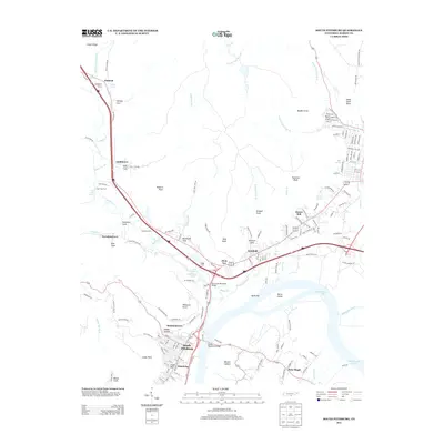
2013 Map of South Pittsburg
USGS Topo · Published 2013About this map
South Pittsburg and the surrounding Tennessee River valley are defined by a network of bridges and river crossings that link the historic riverfront with the rising terrain of Cedar Ridge and Middle Point. The map details the local infrastructure of the modern era, featuring the Shelby Rhinehart Bridge and the Pat Layne Memorial Bridge spanning the water to connect the city with communities like New Hope. Further north, legacy river-crossing points such as Ketchalls Ford and Fish Trap Ford reflect an older layer of geography along Battle Creek.
Find a feature on this map
144 named features on this map. Tap any name to fly to it.
Don’t see what you’re looking for? This feature index may not catch every label — zoom into the map to look around manually.
Map Details
Editions of this 2013 South Pittsburg Map
This is the sole edition of this map. No revisions or reprints were ever made.
Other maps of this area

1886 · Stevenson
USGS Topo · 1:125,000

1892 · Stevenson
USGS Topo · 1:125,000

1895 · Stevenson
USGS Topo · 1:125,000

1895 · Sewanee
USGS Topo · 1:125,000

1936 · Shellmound
USGS Topo · 1:24,000

1936 · Orme
USGS Topo · 1:24,000

1936 · Bridgeport
USGS Topo · 1:24,000

1936 · Whitwell
USGS Topo · 1:24,000

1936 · Monteagle
USGS Topo · 1:24,000

1936 · White City
USGS Topo · 1:24,000