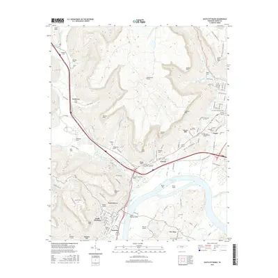
2016 Map of South Pittsburg
USGS Topo · Published 2016About this map
The Sequatchie River joins Guntersville Lake at the southern edge of the Cumberland Plateau, anchoring a landscape defined by sharp elevation shifts and river-bottom settlements. South Pittsburg and Jasper serve as the primary hubs in this corridor, where the CSX Transportation line and several major highway routes converge. The map documents a dense network of family and community history, particularly through its numerous burial grounds like Raulston Cem and Bible Cem, often located near the distinct "coves" that cut into the plateau. The modern transportation infrastructure is highlighted by the Shelby Rhinehart Bridge and Pat Layne Memorial Bridge, which facilitate travel across the expansive water of the lake. These crossings connect the traditional settlements of Richard City and New Hope to the larger industrial and commercial centers, illustrating the long-standing importance of this river gap in the Tennessee geography.
Find a feature on this map
126 named features on this map. Tap any name to fly to it.
Don’t see what you’re looking for? This feature index may not catch every label — zoom into the map to look around manually.
Map Details
Editions of this 2016 South Pittsburg Map
This is the sole edition of this map. No revisions or reprints were ever made.
Other maps of this area

1886 · Stevenson
USGS Topo · 1:125,000

1892 · Stevenson
USGS Topo · 1:125,000

1895 · Stevenson
USGS Topo · 1:125,000

1895 · Sewanee
USGS Topo · 1:125,000

1936 · Shellmound
USGS Topo · 1:24,000

1936 · Orme
USGS Topo · 1:24,000

1936 · Bridgeport
USGS Topo · 1:24,000

1936 · Whitwell
USGS Topo · 1:24,000

1936 · Monteagle
USGS Topo · 1:24,000

1936 · White City
USGS Topo · 1:24,000