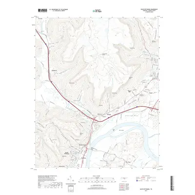
2019 Map of South Pittsburg
USGS Topo · Published 2019About this map
South Pittsburg and the surrounding river valley are documented here in a modern landscape defined by the winding Tennessee River and the towering ridges of the Cumberland Plateau. The area's complex geography is marked by deep coves such as Gilliam Cove, Kelly Cove, and Sweetens Cove, which have long dictated the placement of small communities and family burial grounds. Local history is deeply embedded in the terrain, from the industrial presence in Richard City to the numerous family-named landmarks like Raulstons Cove and Glover Hill.
Find a feature on this map
124 named features on this map. Tap any name to fly to it.
Don’t see what you’re looking for? This feature index may not catch every label — zoom into the map to look around manually.
Map Details
Editions of this 2019 South Pittsburg Map
This is the sole edition of this map. No revisions or reprints were ever made.
Other maps of this area

1886 · Stevenson
USGS Topo · 1:125,000

1892 · Stevenson
USGS Topo · 1:125,000

1895 · Stevenson
USGS Topo · 1:125,000

1895 · Sewanee
USGS Topo · 1:125,000

1936 · Shellmound
USGS Topo · 1:24,000

1936 · Orme
USGS Topo · 1:24,000

1936 · Bridgeport
USGS Topo · 1:24,000

1936 · Whitwell
USGS Topo · 1:24,000

1936 · Monteagle
USGS Topo · 1:24,000

1936 · White City
USGS Topo · 1:24,000