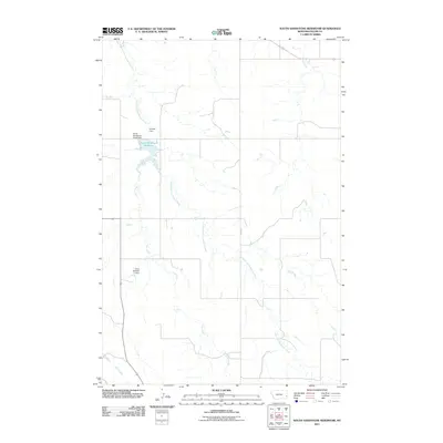
2011 Map of South Sandstone Reservoir
USGS Topo · Published 2011About this map
South Sandstone Reservoir sits at the heart of this Fallon County drainage basin, illustrating the critical role of water management in eastern Montana. The landscape is defined by the winding course of the South Fork Sandstone Creek, which feeds into the reservoir secured by the South Sandstone Creek Dam. The distribution of smaller impoundments, such as the R Maier Dam and Ehret Number 1 Dam, reflects the historical importance of local water storage for ranching and agriculture in this semi-arid region. Tributaries including Coon Creek, Pine Creek, and Timber Creek etch a complex network of coulees and draws across the terrain. A sparse network of rural routes, including Road 301, provides the primary access through this open country, highlighting the isolation and vast distances characteristic of the high plains.
Find a feature on this map
9 named features on this map. Tap any name to fly to it.
Don’t see what you’re looking for? This feature index may not catch every label — zoom into the map to look around manually.
Map Details
Editions of this 2011 South Sandstone Reservoir Map
This is the sole edition of this map. No revisions or reprints were ever made.
Other maps of this area

1953 · Miles City
USGS Topo · 1:250,000

1957 · Miles City
USGS Topo · 1:250,000

1958 · Miles City
USGS Topo · 1:250,000

1981 · Baker
USGS Topo · 1:100,000

1981 · Baker NE
USGS Topo · 1:24,000

1981 · Baker
USGS Topo · 1:24,000

1981 · South Sandstone Reservoir
USGS Topo · 1:24,000

1981 · Willard
USGS Topo · 1:24,000

1981 · Little Pine Creek
USGS Topo · 1:24,000

1981 · Baker NW
USGS Topo · 1:24,000