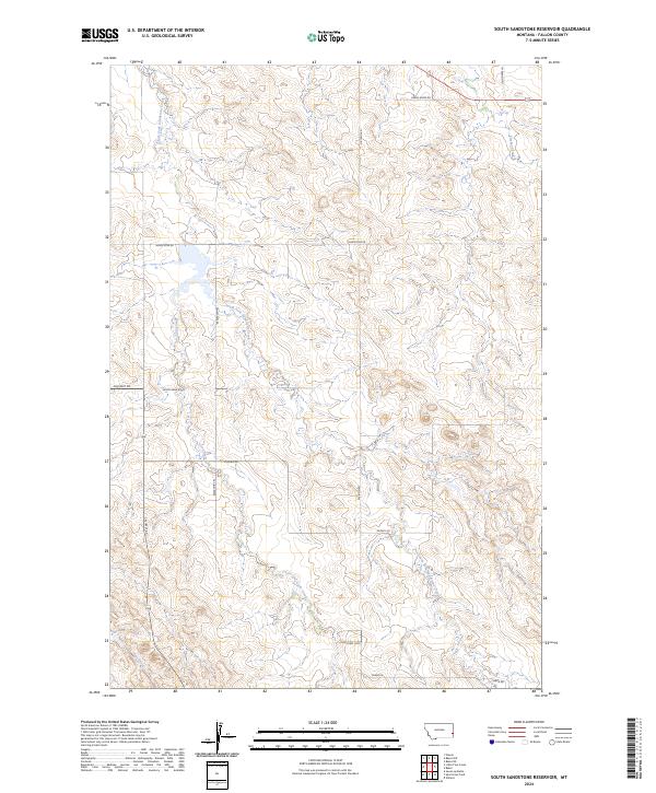
2024 Map of South Sandstone Reservoir
USGS Topo · Published 2024About this map
South Sandstone Reservoir serves as the central focal point of this Eastern Montana landscape, where the prairie is defined by a dendritic network of drainages and ranch access roads. The hydrology of the region is dominated by the South Fork Sandstone Creek, which feeds the reservoir, along with seasonal watercourses like Coon Creek and Pine Creek that carve through the local topography. This modern survey reflects the enduring rural character of Fallon County, where land use is etched into the map through named local routes such as Sunny Bank Rd and Snowy Rd. The presence of Coon Creek Loop and Reservoir Trl suggests a landscape managed for both agricultural utility and local water access, while the township and range lines of t7n r58e and t6n r58e provide the essential cadastral framework for property and genealogy research in this sparsely populated section of the High Plains.
Find a feature on this map
18 named features on this map. Tap any name to fly to it.
Don’t see what you’re looking for? This feature index may not catch every label — zoom into the map to look around manually.
Map Details
Editions of this 2024 South Sandstone Reservoir Map
This is the sole edition of this map. No revisions or reprints were ever made.
Other maps of this area

1953 · Miles City
USGS Topo · 1:250,000

1957 · Miles City
USGS Topo · 1:250,000

1958 · Miles City
USGS Topo · 1:250,000

1981 · Baker
USGS Topo · 1:100,000

1981 · Baker NE
USGS Topo · 1:24,000

1981 · Baker
USGS Topo · 1:24,000

1981 · South Sandstone Reservoir
USGS Topo · 1:24,000

1981 · Willard
USGS Topo · 1:24,000

1981 · Little Pine Creek
USGS Topo · 1:24,000

1981 · Baker NW
USGS Topo · 1:24,000