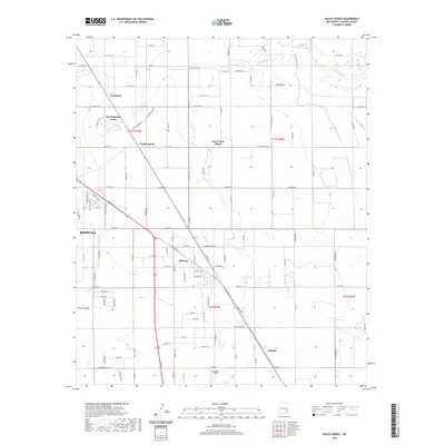
2020 Map of South Spring
USGS Topo · Published 2020About this map
Rio Hondo and the Pecos River converge east of the growing outskirts of Roswell, shaping a landscape defined by water management and rural settlement. The presence of the Hagerman Canal and the S Spring River underscores the region's reliance on irrigation, while the grid-like road network supports outlying communities such as Fairbanks and South Spring. This area reflects the transition from open agricultural land to residential developments like South Spring Acres and East Grand Plains.
Find a feature on this map
114 named features on this map. Tap any name to fly to it.
Don’t see what you’re looking for? This feature index may not catch every label — zoom into the map to look around manually.
Map Details
Editions of this 2020 South Spring Map
This is the sole edition of this map. No revisions or reprints were ever made.
Other maps of this area

1949 · Peters Lake
USGS Topo · 1:24,000

1949 · Roswell North
USGS Topo · 1:24,000

1949 · Roswell South
USGS Topo · 1:24,000

1950 · Dexter West
USGS Topo · 1:24,000

1950 · Comanche Spring
USGS Topo · 1:24,000

1950 · Bottomless Lakes
USGS Topo · 1:24,000

1950 · South Spring
USGS Topo · 1:24,000

1950 · Bitter Lake
USGS Topo · 1:24,000

1950 · Dexter East
USGS Topo · 1:24,000

1955 · Roswell
USGS Topo · 1:250,000