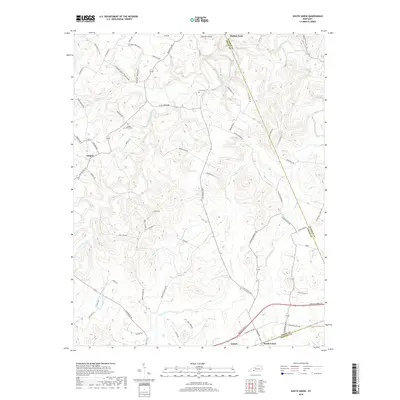
2019 Map of South Union
USGS Topo · Published 2019About this map
The Gasper River carves a winding path through this corner of Logan County, defining a landscape of deep hollows and rural settlements. Near the river's bend, the Gasper River Cem serves as a significant genealogical marker for the community of Gasper. The terrain is notably dissected by drainages such as Epperson Hollow and Shaker Hollow, reflecting the region's complex karst-like topography.
Find a feature on this map
69 named features on this map. Tap any name to fly to it.
Don’t see what you’re looking for? This feature index may not catch every label — zoom into the map to look around manually.
Map Details
Editions of this 2019 South Union Map
This is the sole edition of this map. No revisions or reprints were ever made.
Other maps of this area

1911 · Dunmor
USGS Topo · 1:48,000

1914 · Little Muddy
USGS Topo · 1:62,500

1914 · Dunmor
USGS Topo · 1:62,500

1951 · Woodburn
USGS Topo · 1:24,000

1951 · Auburn
USGS Topo · 1:24,000

1951 · South Union
USGS Topo · 1:24,000

1951 · Homer
USGS Topo · 1:24,000

1952 · Dennis
USGS Topo · 1:24,000

1952 · Rockfield
USGS Topo · 1:24,000

1953 · Quality
USGS Topo · 1:24,000