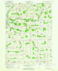
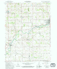
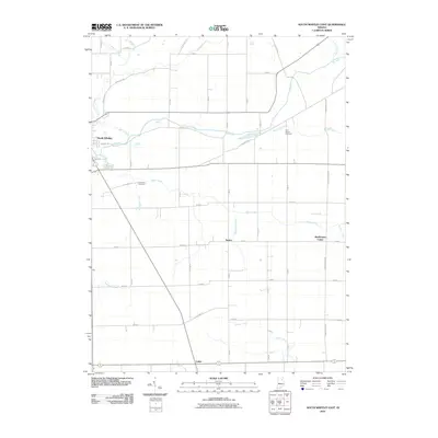
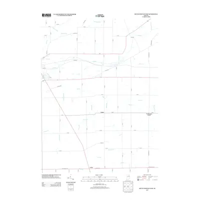
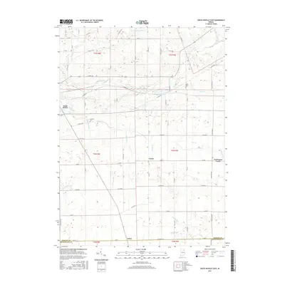
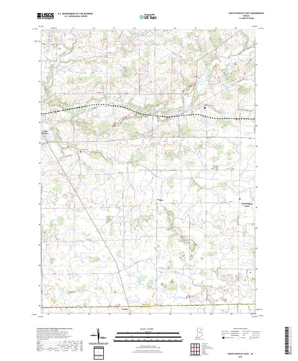
1962 Map of South Whitley East
USGS Topo · Published 1963About this map
The Eel River and its accompanying rail corridors define the landscape of this Whitley County region in the early 1960s. The New York Chicago and St Louis railroad and the Pennsylvania line cut across the northern townships, anchoring the growth of South Whitley. Outside the main settlement, the area is partitioned into traditional agricultural grids across Richland, Columbia, Cleveland, and Washington townships. Small rural centers like Tunker and Washington Center serve as local hubs, while numerous country churches and cemeteries, such as Eberhard Ch and St Peters Cem, are scattered throughout the countryside. This survey captures a moment when the rural landscape was densely populated with small landmarks of community life, from the Fairview Ch in the west to Luther on the southern border with Huntington County.
Find a feature on this map
31 named features on this map. Tap any name to fly to it.
Don’t see what you’re looking for? This feature index may not catch every label — zoom into the map to look around manually.
Map Details
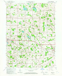
Editions of this 1962 South Whitley East Map
2 editions found
Historical Maps of South Whitley Through Time
25 maps found
1956 Lorane
Whitley County, IN
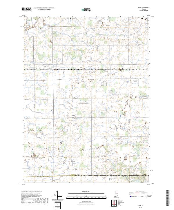
1961 Laud
Whitley County, IN
1962 South Whitley East
Whitley County, IN
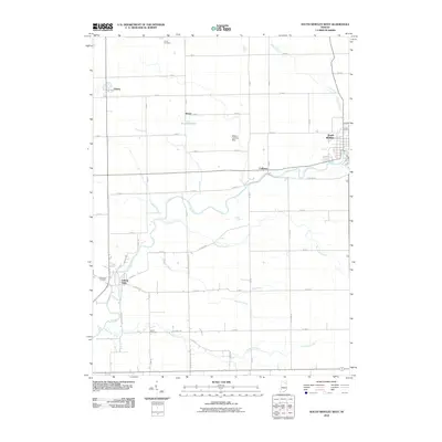
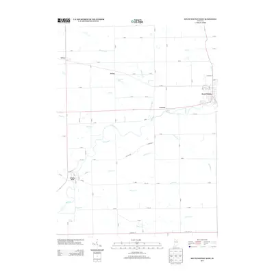
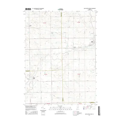
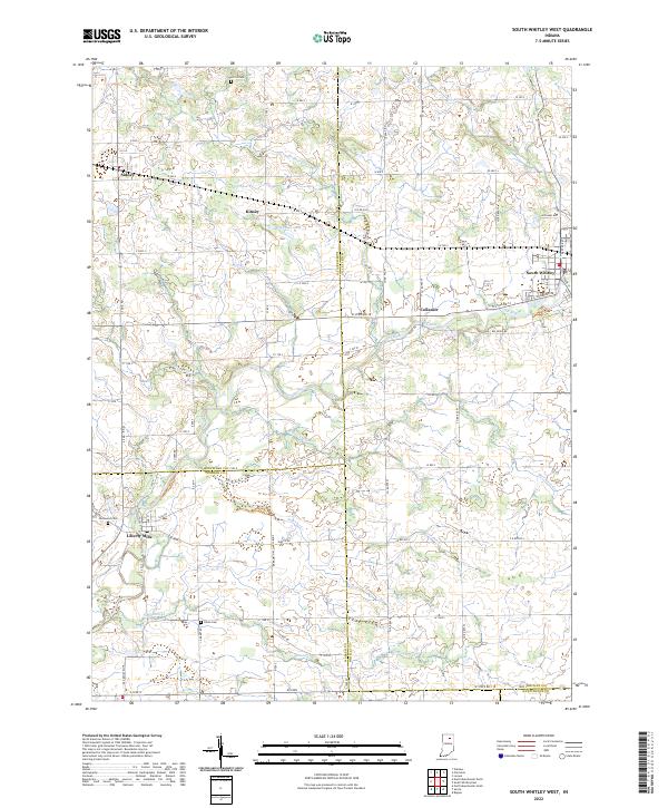
1962 South Whitley West
Whitley County, IN
1965 Lorane
Whitley County, IN
2010 Laud
Whitley County, IN
2010 Lorane
Whitley County, IN
2010 South Whitley East
Whitley County, IN
2010 South Whitley West
Whitley County, IN
2013 Laud
Whitley County, IN
2013 Lorane
Whitley County, IN
2013 South Whitley East
Whitley County, IN
2013 South Whitley West
Whitley County, IN
2016 Laud
Whitley County, IN
2016 Lorane
Whitley County, IN
2016 South Whitley East
Whitley County, IN
2016 South Whitley West
Whitley County, IN
2019 Laud
Whitley County, IN
2019 Lorane
Whitley County, IN
2019 South Whitley East
Whitley County, IN
2019 South Whitley West
Whitley County, IN
2022 Laud
Whitley County, IN
2022 South Whitley East
Whitley County, IN
2022 South Whitley West
Whitley County, IN
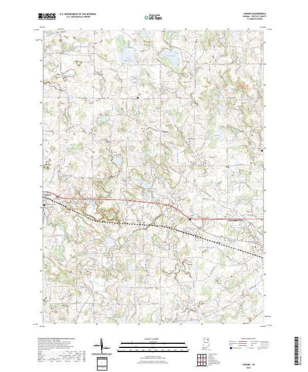
2023 Lorane
Whitley County, IN