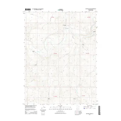
2014 Map of Southam Canyon
USGS Topo · Published 2014About this map
The White River carves a deep, winding path through this corner of Uintah County, creating a complex drainage network that includes Evacuation Cr and several prominent canyon systems. This landscape reflects the intersection of early transportation routes and modern energy extraction, notably at the Southman Canyon Gas Field. Historical travel through the region is evidenced by the Ignatio Stage Stop and the settlement of Watson located in the southern portion of the quadrangle.
Find a feature on this map
22 named features on this map. Tap any name to fly to it.
Don’t see what you’re looking for? This feature index may not catch every label — zoom into the map to look around manually.
Map Details
Editions of this 2014 Southam Canyon Map
This is the sole edition of this map. No revisions or reprints were ever made.
Other maps of this area

1885 · East Tavaputs
USGS Topo · 1:250,000

1885 · Ashley
USGS Topo · 1:250,000

1907 · Jensen
USGS Topo · 1:125,000

1910 · Jensen
USGS Topo · 1:125,000

1954 · Vernal
USGS Topo · 1:250,000

1956 · Grand Junction
USGS Topo · 1:250,000

1958 · Vernal
USGS Topo · 1:250,000

1959 · Grand Junction
USGS Topo · 1:250,000

1960 · Vernal
USGS Topo · 1:250,000

1960 · Grand Junction
USGS Topo · 1:250,000