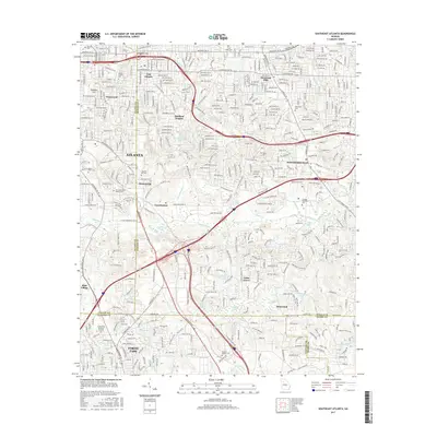
2017 Map of Southeast Atlanta
USGS Topo · Published 2017About this map
Atlanta expands toward its southeastern boundaries in this survey, showing a landscape defined by industrial corridors and long-standing neighborhoods. The industrial character of the region is evident near Constitution, where the S River Industrial Blvd SE and Constitution Rd SE intersect with a network of rail lines and quarries. Waterways like Intrenchment Cr and the South River weave through the terrain, passing near landmarks such as Glen Emerald Lake and Lake Charlotte.
Find a feature on this map
62 named features on this map. Tap any name to fly to it.
Don’t see what you’re looking for? This feature index may not catch every label — zoom into the map to look around manually.
Map Details
Editions of this 2017 Southeast Atlanta Map
This is the sole edition of this map. No revisions or reprints were ever made.
Other maps of this area

1888 · Atlanta
USGS Topo · 1:125,000

1890 · Atlanta
USGS Topo · 1:125,000

1892 · Atlanta
USGS Topo · 1:125,000

1895 · Atlanta
USGS Topo · 1:125,000

1953 · Atlanta
USGS Topo · 1:250,000

1954 · Conley
USGS Topo · 1:24,000

1954 · Decatur
USGS Topo · 1:24,000

1954 · Jonesboro
USGS Topo · 1:24,000

1954 · Riverdale
USGS Topo · 1:24,000

1954 · Bolton
USGS Topo · 1:24,000