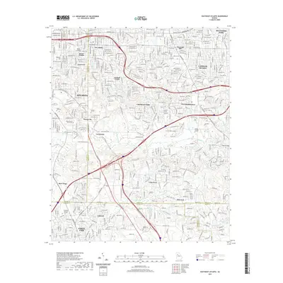
2020 Map of Southeast Atlanta
USGS Topo · Published 2020About this map
The South River and its tributaries carve through the suburban landscape of this 2020 survey, where DeKalb, Fulton, Clayton, and Henry Counties converge. The industrial and military footprint of the region is anchored by Fort Gillem in the south and the CSX rail corridor that links historic settlements like Constitution and Ellenwood. In contrast to the heavy rail and industrial zones near Lake Charlotte, the map details numerous legacy sites, including the Old South Bend Historic Cem and South-View Cem. Residential expansion is evident in established communities such as Belvedere Park, Gresham Park, and Candler-Mcafee. These neighborhoods are interspersed with natural and man-made water features, including Glen Emerald Lake and the Constitution Lake area, reflecting the modern intersection of urban infrastructure and the Piedmont terrain.
Find a feature on this map
69 named features on this map. Tap any name to fly to it.
Don’t see what you’re looking for? This feature index may not catch every label — zoom into the map to look around manually.
Map Details
Editions of this 2020 Southeast Atlanta Map
This is the sole edition of this map. No revisions or reprints were ever made.
Other maps of this area

1888 · Atlanta
USGS Topo · 1:125,000

1890 · Atlanta
USGS Topo · 1:125,000

1892 · Atlanta
USGS Topo · 1:125,000

1895 · Atlanta
USGS Topo · 1:125,000

1953 · Atlanta
USGS Topo · 1:250,000

1954 · Conley
USGS Topo · 1:24,000

1954 · Decatur
USGS Topo · 1:24,000

1954 · Jonesboro
USGS Topo · 1:24,000

1954 · Riverdale
USGS Topo · 1:24,000

1954 · Bolton
USGS Topo · 1:24,000