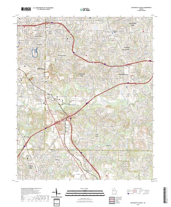
2024 Map of Southeast Atlanta
USGS Topo · Published 2024About this map
Intrenchment Creek flows through a landscape defined by industrial corridors and historic burial grounds in this modern topographic study of southeastern Atlanta. The map details a dense network of neighborhoods including Beulah Heights, Eastland Heights, and Panthersville, as well as the transition from urban city blocks to the more spread-out developments of Ellenwood and Conley. A significant amount of the area's legacy is preserved in its cemeteries, such as the expansive Oakland Cem and the Old South Bend Historic Cem.
Find a feature on this map
60 named features on this map. Tap any name to fly to it.
Don’t see what you’re looking for? This feature index may not catch every label — zoom into the map to look around manually.
Map Details
Editions of this 2024 Southeast Atlanta Map
This is the sole edition of this map. No revisions or reprints were ever made.
Other maps of this area

1888 · Atlanta
USGS Topo · 1:125,000

1890 · Atlanta
USGS Topo · 1:125,000

1892 · Atlanta
USGS Topo · 1:125,000

1895 · Atlanta
USGS Topo · 1:125,000

1953 · Atlanta
USGS Topo · 1:250,000

1954 · Conley
USGS Topo · 1:24,000

1954 · Decatur
USGS Topo · 1:24,000

1954 · Jonesboro
USGS Topo · 1:24,000

1954 · Riverdale
USGS Topo · 1:24,000

1954 · Bolton
USGS Topo · 1:24,000